Drone surveying is transforming the way land surveyors work—delivering faster data collection, broader site coverage, and exceptional accuracy. But how does it really compare to traditional methods in the field? In this guide, we break down the key differences in speed, precision, and cost to help you choose the right tool for every project.
The surveying industry stands at a pivotal moment. Traditional methods have proven reliable over decades, but client expectations are evolving toward faster deliverables, more comprehensive data, and cost-effective solutions for complex projects. Drone surveying addresses these demands while complementing—not replacing—the expertise that defines professional surveying.
In this guide, we'll break down exactly what drone surveying offers, how it compares to traditional surveying, and why it’s essential in competitive surveying practices.
Understanding Drone Surveying Technology
Drone surveying uses specialized unmanned aircraft equipped with professional-grade sensors to collect survey data from the air. These sophisticated systems integrate LiDAR sensors, high-resolution cameras, and precision GPS to create detailed, accurate maps that exceed the precision of conventional, ground-based equipment.
The Technology That Makes It Work
Survey drones combine three key technologies into compact, easy-to-use platforms:
LiDAR sensors emit thousands of laser pulses per second, measuring precise distances to create detailed 3D point clouds. These sensors typically achieve point densities of 50-200 points per square meter and can even penetrate vegetation to map the ground underneath. The result? Comprehensive terrain modeling that captures micro-topography often missed by traditional sampling methods.
High-resolution cameras capture detailed imagery processed into orthomosaics, or aerial photos that are geometrically corrected. These survey cameras achieve ground sample distances (GSD) of 0.5-2 inches, meaning that each pixel represents a corresponding distance on the ground.
GPS and positioning systems ensure everything is placed exactly where it belongs in your coordinate system, tracking aircraft orientation and establishing ground control points to anchor the data with survey-grade precision.
The key difference? Data collection happens from the air, eliminating the need to physically access every part of the site while maintaining the accuracy standards your clients expect.
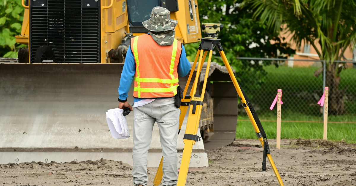
Traditional Surveying: The Proven Foundation
Traditional surveying methods have earned their reputation through decades of proven performance and reliability. Total stations, GPS rovers, and levels all deliver the precision the industry expects, and they continue to serve as the foundation for many surveying applications.
Where Traditional Methods Excel
- Total stations serve as the gold standard for precise angle and distance measurements, like property boundaries and construction stakeout projects.
- GPS rovers efficiently collect coordinate data across open terrain, providing proven reliability and accuracy that most surveyors already know how to leverage effectively.
- Established workflows deliver predictable results with known accuracy standards, documented procedures, and well-understood equipment performance and compliance requirements.
Where Traditional Methods Struggle
However, traditional surveying faces inherent challenges that drone technology directly addresses. Large sites can take weeks to survey thoroughly, particularly when dealing with rugged terrain like steep slopes, dense vegetation, or wetlands that slow crews down or make areas impossible to access safely.
This results in longer project timelines, higher labor costs, and potential safety risks for field crews. Traditional land surveying also relies on selective sampling, measuring representative points and interpolating between them, which can miss important site features or terrain variations that comprehensive coverage would reveal.
READ MORE: The Land Surveyor’s Dilemma: Workforce Shortages & Tech Adoption
These limitations aren't failures of traditional surveying—they're simply the constraints that drone technology was designed to overcome.
3 Key Advantages to Drone Surveying
1. Speed That Changes Everything
The most transformative impact of drone surveying is in data collection speed, where the time difference compared to traditional methods fundamentally changes project economics and client relationships.
Consider a 200-acre development site: A traditional crew might need 3-5 days of fieldwork, depending on weather conditions and terrain complexity. A drone survey completes the same coverage in about 2-3 hours of total flight time, with minimal setup requirements and largely automated data processing.
READ MORE: Drone Surveys vs Traditional Surveys
What This Means for Your Business
You can take on more projects, deliver results faster, and provide clients with turnaround times that were previously impossible. The speed advantage doesn't just improve efficiency—it opens entirely new market opportunities and allows you to differentiate your services in a competitive landscape.
2. Comprehensive Accuracy That Reveals More
Professional drone surveying systems routinely achieve accuracy within 0.02 feet—matching traditional methods—but with a crucial advantage: they capture data across the entire site rather than at selective points.
This comprehensive accuracy relies on systematic processes working together:
- Ground control points anchor drone data to known coordinates, ensuring accuracy throughout the project
- Proper flight planning ensures adequate overlap and coverage, with professional software calculating exactly how the drone needs to fly
- Quality processing workflows integrate all collected data into accurate, georeferenced deliverables
What This Means for Your Business
You're not just matching traditional accuracy—you're providing clients with far more complete information. The comprehensive coverage reveals features, drainage patterns, and site conditions that selective measurement might miss, adding value that clients recognize and pay for.
READ MORE: The Benefits of High-Resolution Drone Surveys
3. Access That Expands Your Market
Traditional surveying methods can be limited by terrain accessibility, weather conditions, and safety concerns. Drone surveying eliminates these constraints, providing complete site documentation regardless of accessibility challenges.
This capability transforms your ability to handle:
- Large-scale topographic mapping
- Environmental monitoring in sensitive areas
- Volume measurements for earthwork
- Documenting existing conditions in hazardous locations
- Emergency response and disaster assessment
What This Means for Your Business
You can confidently pursue projects that previously might have been too challenging, dangerous, or expensive with traditional methods alone. Your service capabilities expand dramatically, opening new revenue streams and market segments.
Things to Consider for Drone Implementation
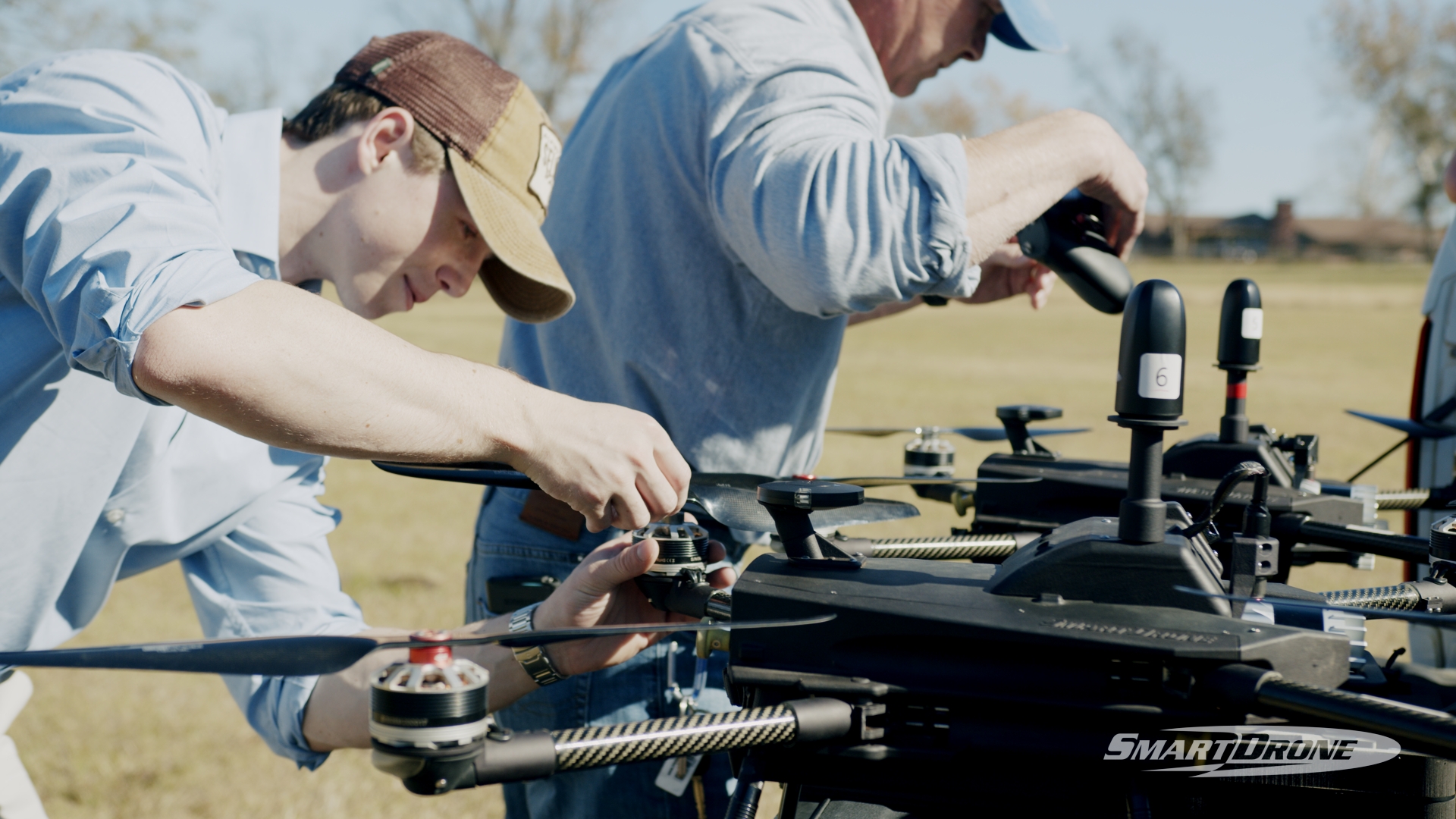
Successfully implementing drone surveying requires the right equipment, how-to training, and reliable support, but the barriers are more manageable than many surveyors initially assume, and the returns justify the investment.
READ MORE: Integrating Drones into Operations: Choosing the Best Path for Your Business
Technology Requirements
Survey-grade accuracy is non-negotiable. Professional drone systems differ significantly from consumer models in precision capabilities, reliability, and the ability to integrate with existing surveying workflows.
Comprehensive training and ongoing support are crucial to maximizing the value of your investment, particularly when transitioning from traditional workflows. This technology requires different skills from traditional surveying and benefits from partners committed to your long-term success.
Workflow integration ensures drone data works effectively with your existing software and established processes, maintaining the efficiency gains that make the technology worthwhile.
Regulatory Compliance Made Simple
Drone surveying involves FAA regulations that don't apply to traditional methods, including commercial pilot certification and airspace restriction understanding. While this adds complexity, proper training and support make regulatory compliance manageable rather than overwhelming. The investment in compliance pays dividends in expanded capabilities and competitive advantage.
The Strategic Advantage
The most successful surveying practices understand that drone technology isn't just another tool—it's a strategic advantage that positions them for future growth. Traditional methods remain important for specific applications, but drone surveying transforms what's possible:
Enhanced capabilities for:
- Large-area mapping projects
- Difficult or dangerous terrain with complete safety
- Comprehensive site documentation
- Projects requiring fast turnaround
- Environmental monitoring with minimal site disturbance
- Volume calculations and earthwork
Competitive advantages include:
- Faster project delivery that wins more bids
- More comprehensive data that justifies higher fees
- Ability to take on previously impossible projects
- Reduced field time lowers costs and risks
- Enhanced client relationships through superior service
The practices that adopt drone surveying now are positioning themselves as industry leaders, while those that delay implementation risk being left behind by more agile competitors.
Conclusion
Drone surveying isn't a replacement for traditional methods—it's an evolution. It builds on the core principles of precision and professionalism while unlocking faster, safer, and more scalable ways to deliver exceptional results. For modern surveying firms, the question is no longer if they should adopt drone technology, but how soon they can start.
Firms that act now are setting themselves apart with faster turnarounds, richer data, and the ability to tackle complex sites that traditional methods struggle to reach. The competitive edge is real and growing.
SmartDrone is here to help you lead that change. From selecting the right equipment to mastering flight workflows and achieving FAA compliance, we offer everything you need to integrate drone surveying successfully and sustainably.
Let’s future-proof your business. Contact SmartDrone today and take the first step toward transforming how you survey: faster, smarter, and ahead of the curve.