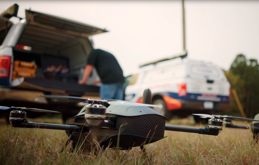
Today's commercial drones might have their roots in enormous, clumsy self-guided missiles of the 40s and 50s, but they couldn't be more different in their use and design.
Back then, drones (also called UAVs or UAS) were developed for the military. They're used in various industries, from ranching and farming to filmmaking and amateur outdoor photography. And increasingly, mining companies, archeologists, environmental scientists, and agricultural ministries (to name but a few) are embracing them to conduct drone surveys.
Read on to learn why these machines are becoming indispensable tools in land surveying.
1. Unrivaled Accuracy
Drone camera technology has improved dramatically over the past decade.
This means the images and videos they send back from the field boast resolutions previously unimaginable. And, of course, the greater the pixel density, the more precise the survey results.
Today's drones also have improved stability technology, performing well even in poor weather.
2. Reduced Time and Cost
Traditional land survey methods require heavy human resources, a lot of time, and, as a result, a lot of money to complete.
With drone surveying and mapping, you can reduce all of these factors across the board. For example, you can cover a whopping 500 acres daily with a single operator (50+ acres per flight). Automated LiDAR and orthomosaic processing, filtering, and subsampling can be completed in less than 25 minutes.
3. Reams of Data
Complete surveys with just a single drone, and you'll get thousands of measurements for your effort. And these measurements can be represented in many valuable ways:
- Orthomosaic
- Point cloud
- Thermal and multispectral maps
- DTM and DSM
- Contour lines
- 3D images
And more! Plus, there's helpful 3D geo-data in every pixel of the maps produced by your drone.
This makes the data highly relevant across a wide range of specializations.
4. Safeguard Staff
One of the most important benefits of using a drone is that it helps companies keep their staff safe. Traditional survey methods require heavy machinery and equipment and in-person fieldwork, sometimes in dangerous terrain.
Sending a drone instead of a person reduces the risk of accidents and puts less stress and strain on operators.
5. Improved Accessibility
One of the final drone benefits we'll discuss today is that drones can go anywhere! Send them to inaccessible valleys, unscalable mountain peaks, or areas that are too cold, too hot, or otherwise uninhabitable.
By surveying with a drone, there's no need to block traffic, stop trains, or shut down public areas.
Why Drone Surveys Outcompete Other Methods
Once you've tried drone surveys, it's hard to go back to traditional methods.
They're more accurate, faster, accessible, and safer than any other system. You can hire a team to do the job if you don't have in-house surveying capabilities. They have the drones, processing equipment, and trained staff you need.
Talk to the team at SmartDrone about your project needs today. We can help you improve your land surveying speed and efficiency, delivering accurate data faster than any other method.
