Almost 2.5 million drones are expected to get shipped worldwide throughout 2023. This number increases every day as more individuals and companies embrace drone technology.
Especially in the land surveying industry, drone mapping is quickly growing in popularity.
But what are some drone survey benefits compared to traditional survey methods?
This article covers some of the many advantages of drone surveys. This includes saving time and money, survey efficiency, and much more! But first, let's compare the two techniques to some traditional survey methods.
Traditional Surveying Methods
Traditional surveying methods usually consist of in-person field data collection. This involves trained surveying professionals inspecting on foot or through other access techniques.
Common access techniques are scaffolding, access via ropes, or mobile elevation platforms. These allow the surveyor to see large-scale areas from above to make detailed notes.
A big downside to traditional methods is that they often need a large team to complete them. You also have to factor in training with a surveying team. This can be both time-consuming and expensive.
They may have limited access to areas due to hard-to-reach zones or terrain conditions.
Also, some techniques, like rope access, are hazardous for surveyors. They can risk injury or loss of life if they are at great heights or in extreme weather conditions.
Drone Survey Benefits
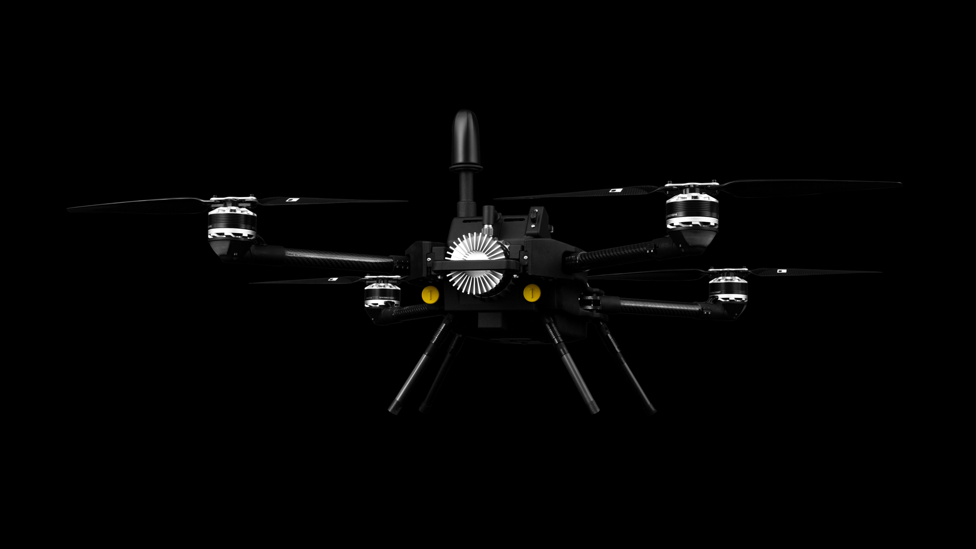
Many companies are now turning to drones for surveying as an antidote to these methods. The newest technology is using LIDAR (Light Detection and Ranging) drones. These drones use light from lasers to create maps of different zones.
Let's look at some of drones' critical benefits compared to traditional techniques.
Better Access
Sometimes you need to survey areas that present extreme conditions or difficult-to-maneuver terrain. Drones are not limited by these conditions and can reach areas humans cannot.
Increased Safety
LIDAR drones offer a much safer work environment for your surveying crew. You won't need to send your team out into hazardous conditions; the drone can go to collect the data instead.
The Discovery 2 drone is a very robust model which can withstand harsh conditions. This makes it the perfect drone to send out into the field.
Survey Efficiency
Drones can travel further and into harsh conditions without difficulty. So this also makes your surveys more efficient. You can collect data much faster and more clearly than human data collection.
You don't need to factor in traveling time to hard-to-reach locations. If you have to repeat a survey due to a mistake, this will be much easier to achieve with a drone.
Cost Savings
All the above factors contribute to drone mapping saving your company money. Although it may be a higher upfront cost, you can save massive amounts on your standard survey techniques.
You can reduce the size and hours of your team while maintaining the same output level. They are much cheaper than other survey technology, like planes or satellite technology.
Use Drone Surveying Services Today
Regarding surveying, traditional methods are a thing of the past. Drone survey benefits include cost savings, efficiency, and safety. You will be able to exceed your expectations with much less hassle.
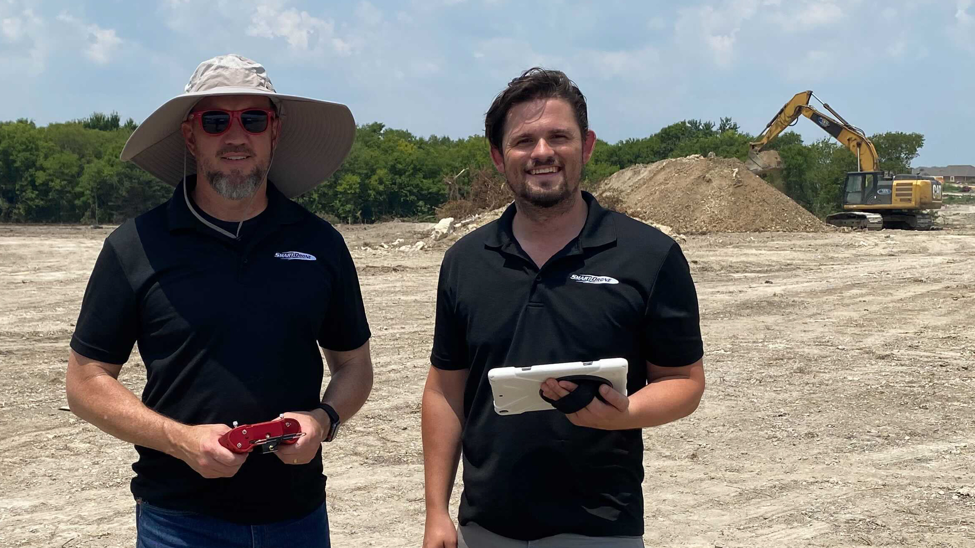
If you are looking for innovative drone surveying techniques, choose Smart Drone. We are proud to offer cutting-edge drone technology at a fantastic price.
We also have a team of drone experts who can help train you to get the most out of your drone. Get in touch today to organize a demo or speak with one of our team.