Did you know that the first official drone use was in 1989? With its advancements today, it’s difficult to imagine that this invention was barely available three decades ago.
Aerial drones have become popular for conducting surveys in various industries. Aerial drone surveying offers a cost-effective and efficient way to collect data. They can also generate high-resolution maps and models of large areas.
This blog post explores the drone survey process and the technologies involved. Read on to learn more.
Step 1: Planning and Preparation
Before conducting a drone survey, create a detailed plan. This includes the objectives of the survey and the area to cover.
It also includes the altitude and flight path of the drone and what data to collect. The flight plan must also account for any obstacles or restricted airspace.
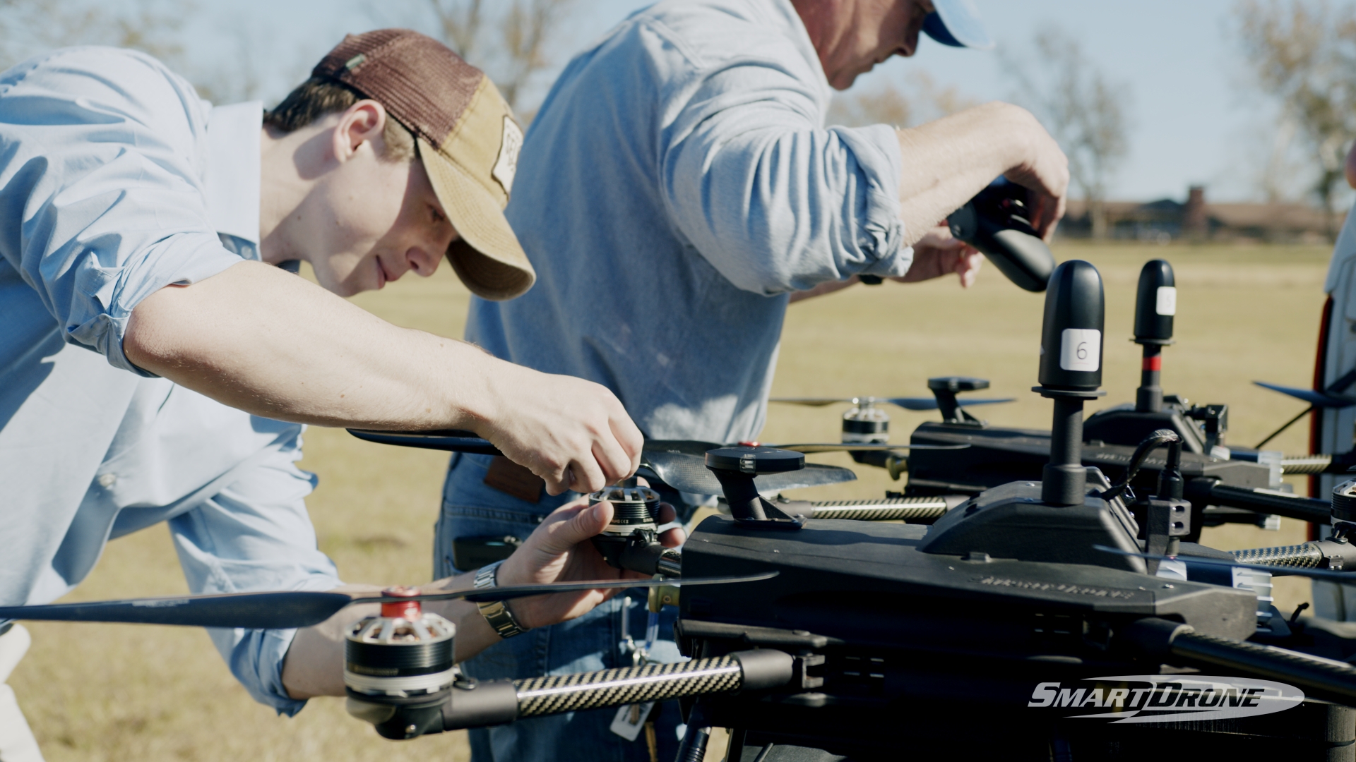
In addition, the drone must be ready for flight. This includes ensuring that the batteries are charged, the propellers are secure, and the camera and sensors are functioning.
The pilot must also check the weather conditions for the best drone for aerial photography. Remember the necessary permits or approvals.
Step 2: Survey Execution
Once the planning and preparation are complete, the LiDAR drone survey can begin. The drone is flown in a grid-like pattern, much like mowing a lawn. This allows you to take images and collect data at specific intervals.
The data and/or images are then processed together to create a high-resolution map or 3D model of the area. The pilot must maintain a clear line of sight with the drone and track its altitude, speed, and battery life.
The pilot also needs to adjust the flight path to avoid obstacles or changes in elevation.
Step 3: Data Processing
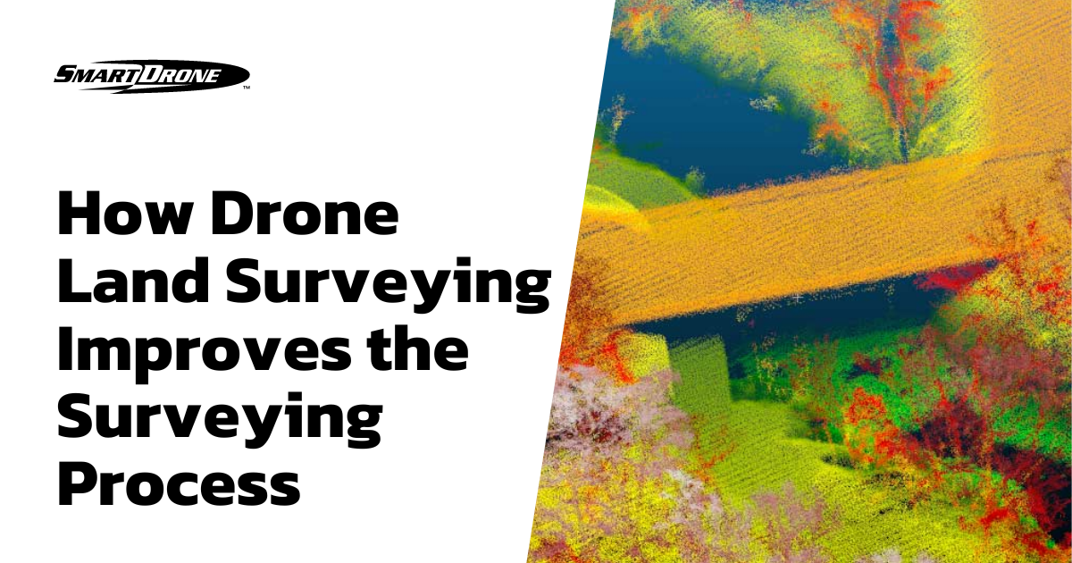
After the smart drone survey is complete, the data must be processed and analyzed. This involves using specialized software to either stitch together the images or process the data for point cloud or orthomosaic generation.
The data can also be analyzed to extract specific information. This includes identifying areas of vegetation, tracking changes over time, or identifying potential safety hazards.
The processed data can be used for various purposes, including planning and design, monitoring and assessment, and communication and outreach.
For example, a construction company may use photogrammetry to create accurate orthomosaics and models of a site to aid in the design process. An environmental organization may use drone surveys to track changes in a sensitive ecosystem over time.
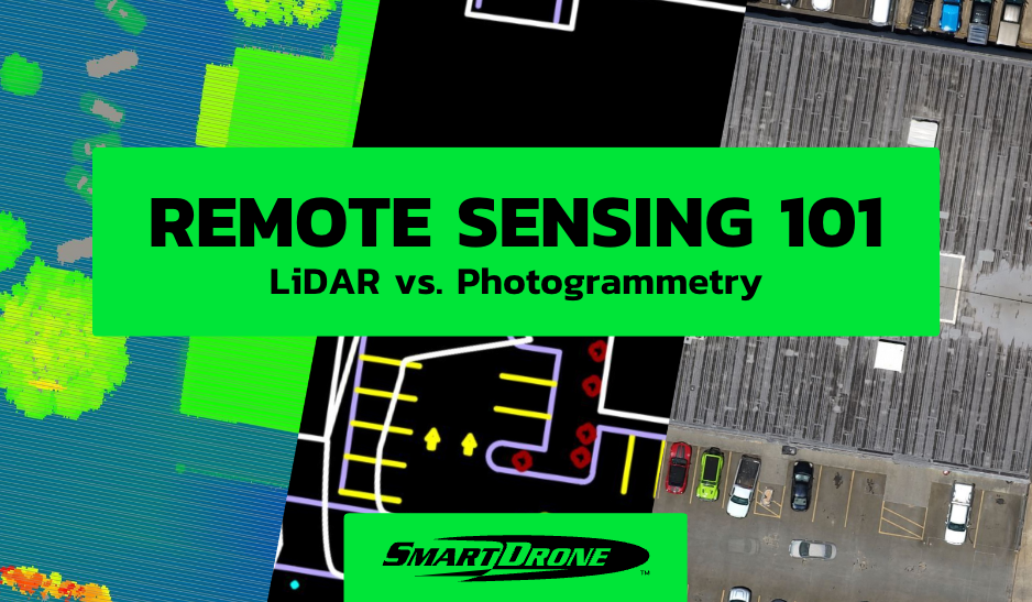
LiDAR Technology Taking Aerial Surveys to the Next Level
LiDAR (Light Detection and Ranging) technology is instrumental in drone aerial surveying. It allows for creating accurate and detailed 3D maps of terrain and structures. It works by emitting laser pulses from a sensor mounted on the aerial mapping drone.
These pulses bounce off the ground or other surfaces, and the sensor measures the time the light returns. This data is then used to create a point cloud, a 3D environment representation.
Here are some ways that LiDAR technology is helpful in aerial drone photography and surveying:
- Accurate elevation data
- 1-foot contours
- Detailed terrain mapping
- Structural analysis
- Flood modeling
- Power line inspection
- Vegetation mapping
Aerial Drone Surveying with LiDAR Technology
Aerial drone technology has revolutionized the way surveys are conducted in various industries.
SmartDrone offers LiDAR drone surveying services. Get accurate, fast, and cost-effective data collection for subdivision planning and one-foot contours. Get in touch today to learn more about our aerial drone services.