Introduction
Drones have revolutionized the surveying industry by providing a faster, cheaper, and more efficient way to gather data. With their ability to provide aerial perspectives and access to hard-to-reach areas, drones have become an indispensable surveyor tool. But with any new technology comes a set of regulations, and drone surveys are no exception. In this article, we will explore the world of drone survey regulations, including the rules and regulations surrounding drone surveys in different countries, the types of surveys and permits required, and the importance of safety and insurance requirements for drone surveys.
Background of Drone Surveys
The use of drones for surveying purposes has evolved rapidly over the past decade. Drones have been used for various purposes, such as military operations, delivery services, and even agriculture, but their use in surveying has become increasingly popular due to their benefits. With their ability to provide aerial perspectives, drones have allowed them to gather previously difficult or impossible data. This has made surveying faster, cheaper, and more efficient.
Overview of Drone Survey Regulations
Drone survey regulations vary from country to country, with some countries having more stringent regulations than others. In general, the use of drones for surveying purposes is regulated by the Federal Aviation Authority (FAA), which is responsible for ensuring the safety of people and property during drone surveys. The FAA sets the rules and regulations surrounding drone surveys, including the permits and licenses required to conduct surveys and the safety measures that must be adhered to.
Types of Surveys and Permits Required
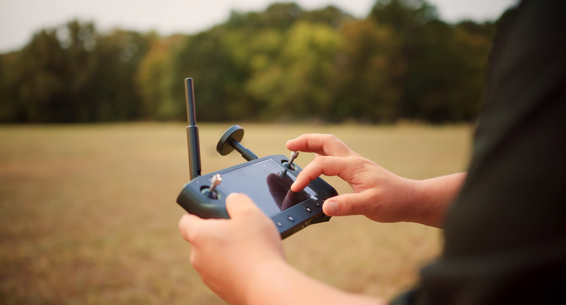
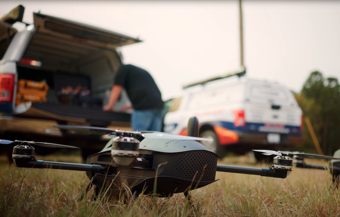
Several surveys can be conducted using drones, including LiDAR mapping and photogrammetry. LiDAR mapping surveys are conducted using a drone with a LiDAR sensor that sends out laser pulses to measure a specific area's topography accurately. In contrast, photogrammetry uses a drone with an RGB sensor or camera sensor, to capture overlapping aerial images, which can be stitched together to create 3D models. No matter the type of survey, individuals must obtain an FAA Pt. 107 Drone Pilots Certificate to perform these surveys with a drone legally.
Safety for Drone Surveys
Safety is of utmost importance when conducting drone surveys. The FAA sets strict safety measures and rules that must be adhered to when operating drone commercially. While it is not required, purchasing liability insurance for your business, or damage insurance for your drone, might be a good idea to cover the costs if an accident occurs. It is essential to follow these safety measures to ensure the safety of people and property during drone surveys.
The Future of Drone Surveys
The future of drone surveys is bright, with technological advances and increasing demand for more efficient and cost-effective surveying methods. Drones will continue to play a critical role in the surveying industry, with new technologies such as autonomous drones and artificial intelligence being developed to make drone surveys even more efficient. The impact of drones on the surveying industry will continue to be significant, with the potential to revolutionize how data is gathered and analyzed.
Conclusion
In conclusion, drone surveys have become an indispensable tool for surveyors, providing faster, safer, and more cost-effective results than traditional survey methods. By using drones equipped with high-resolution sensors and cameras, surveyors can cover large areas quickly while producing accurate and detailed data that can be used to create maps, models, and other significant deliverables. With advancements in technology, drones are becoming even more versatile and capable of handling complex survey tasks. As a result, their popularity and use in the industry are only set to grow.