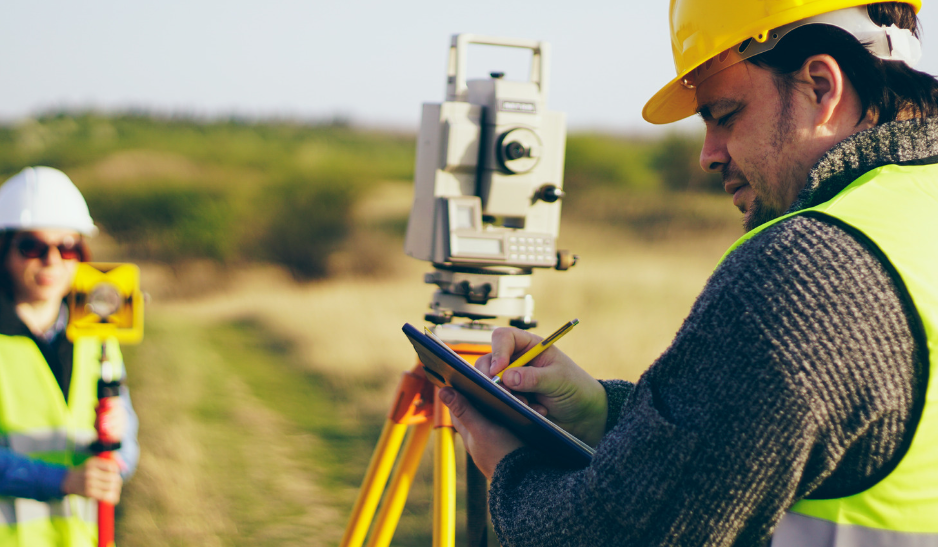
The last 10 years have seen tremendous technological advances in land surveying, ultimately transforming how surveyors map topography and gather data. One of the most groundbreaking developments is the introduction of unmanned aerial vehicles, or drones, to perform essential functions.
Drones have completely disrupted the land surveying industry, making mapping more accurate, efficient, and safe. And the emergence of LiDAR technology has proved to be a potent tool.
What are LiDAR drones?
LiDAR, also referred to as 3D laser screening, is an acronym meaning “light detection and ranging.” Established in the 1960s, this technology works by sending laser pulses at topographical features (e.g., trees, mountains, cliff faces), and using sensors to measure the reflected pulses. This allows land surveyors to calculate distances to a high degree of accuracy. It significantly advantages sonar (sound waves) or radar (radiation waves) mapping. And when the hardware is mounted on an aerial drone, surveyors can map topography remotely, without even setting foot on the measured land. Worlds apart from traditional surveying which required workers to spend long, arduous days mapping individual points manually.
Here are four ways LiDAR drones have transformed traditional land surveying.
Greater Accuracy
LiDAR drones enable drone surveyors to map the land with startling accuracy. An unmanned aerial vehicle can send laser pulses to millions of reflection points, allowing the creation of high-resolution maps and three-dimensional digital surface models. A drone makes it easier to access large land areas to measure topography, meaning no guesswork or inference is required.
Improved Efficiency
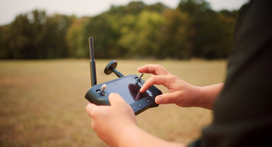
Before surveying drones rose to prominence, the land surveying industry faced high demand for experienced surveyors. New ways of working were required to make do with fewer resources. The introduction of drones allowed firms to do significantly more with a lot less. Using drones, data can be captured five times faster than manual collection, allowing one to carry out a complete survey within a matter of hours and process data on the same day. The surveying can also be carried out remotely or at a distance, reducing working hours, access challenges, and travel time.
Enhanced Safety
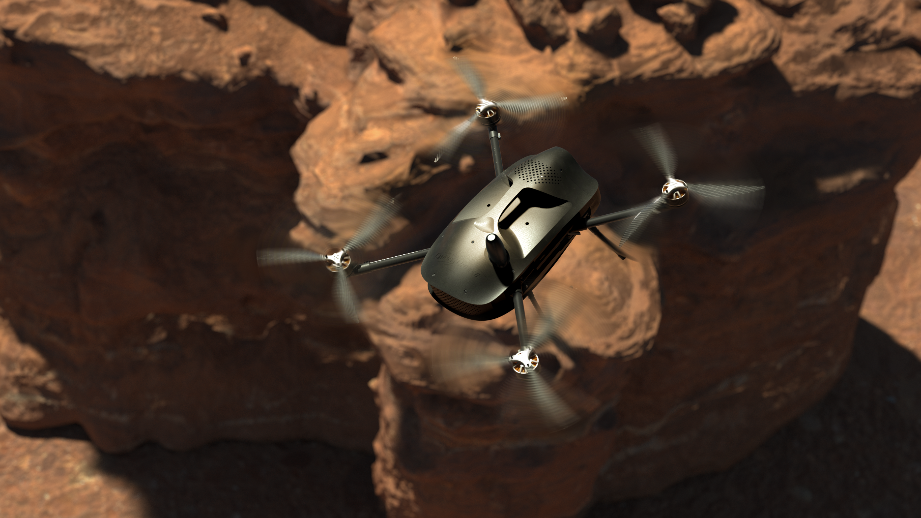
Many areas are challenging to access safely, such as sites containing hazardous material, mountain environments, or areas with heavy vegetation. Drones enable surveyors to map this land without putting themselves in harm’s way.
Cost-Effective
Although there is an initial expense to purchase LiDAR drones, the technology can ultimately save surveying firms money in the long run. Data acquisition happens much more rapidly and accurately than manual mapping, streamlining processes, and saving a great deal of time and money. Drones are also much cheaper to run than other surveying technologies, such as satellites or manned aircraft.
If you want more information about LiDAR drone technology, get in touch with SmartDrone today. We are a leader in drone surveying innovation and technology and can help you with your land surveying needs.