Aerial mapping for land surveying has been used since the 1800s. Experiments with hot air balloons, kites, and a parachuted camera propelled by gunpowder. In the land surveying industry, human-crewed aircraft were employed for the job mounted with cutting-edge sensors and recording equipment. Surveyors have been using unmanned aerial vehicles(UAVs) or drones for mapping topography with increased accuracy and efficiency.
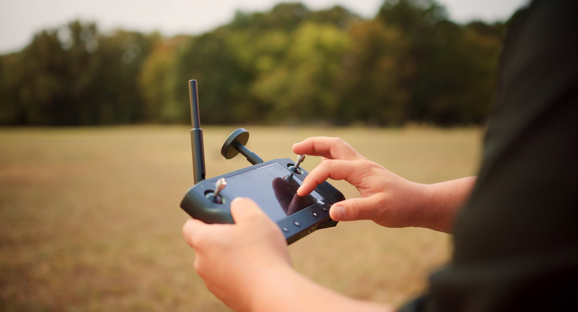
Drones allow surveying companies to access any land area remotely, using LiDAR to create three-dimensional topographical models. Several common misconceptions about drones lead to unfair or unwarranted negative perceptions. Here are the top three myths debunked.
Myth 1: Drones are not as accurate as traditional land surveying
Veterans of land surveying who are accustomed to traditional methods are often skeptical about robotic technology. But any claims about loss of accuracy are unfounded. LiDAR drones target a series of laser pulses at a topographical feature and measure the reflected pulses using high-precision sensors. The drone can fire off millions of reflection points quickly, allowing startlingly accurate models to be created. Furthermore, drones allow for easy surveying of land that might be difficult or impossible to access otherwise, removing the need for any inference or guesswork.
Myth 2: Drones will take your job
Every advance in computer technology is seemingly accompanied by concerns that robots are stealing human jobs when the opposite is true. Over recent decades, the drone surveying industry has created far more jobs for surveyors and engineers. Although they may be unmanned, drones still require people to operate, build, program and maintain them. Surveyors are not being forced out of the industry, they are simply being provided with new and improved ways to carry out the land surveying process.
Myth 3: Drones are not worth the cost
It is true that drone surveying technology comes with a substantial initial investment. But once you have acquired unmanned aerial vehicles, the improvements in productivity and efficiency can save you a great deal of money in the long run. LiDAR drone surveys can capture data five or more times faster than traditional methods and are much cheaper to operate than satellites or manned aircraft.
In summary, it’s clear that drones are reshaping the future of land surveying and many other industries. But it’s important to dispel the myths and untruths around this emerging technology, as it does have enormous benefits for surveyors everywhere.
SmartDrone is a leading drone surveying innovation and technology company. Get in touch today to learn more about LiDAR drones and how they could help you transform your land surveying processes.