The invention of unmanned aerial vehicles (UAVs) such as drones has simplified the surveying process. The presence of drones in the market today will not replace the need for a traditional land surveyor, but it will make their work easier, efficient and save them time and money.
What is Drone Land Surveying?
Drone land surveying involves flying drones over a specified area to collect sensor data and their respective geographic coordinates. These drones are equipped with Lidar payloads, Global Positioning Systems GPS, sensors, and RGB cameras. The drones have the necessary technology to record, transmit and store the data collected for post processing.
How Does it Work?
Drones fly over a specified location with the sensors and the cameras facing down on the land below following a predefined path. The cameras capture overlapping images and scans of the land below them from different angles. These images are tagged with precise geographic coordinates.
Some high end drones also have direct-georeferencing sensors installed to help collect more accurate data. Combining the GPS and the overlapping photos from the cameras enables the surveyor to have a real-time view of the job or land being surveyed and to tie all of that data to the ground.
Benefits of Drone Land Surveying
Drones are becoming one of the most popular and reliable tools for the surveying industry. Let’s take a deep look at the benefits and efficiencies of using a drone in the surveying process.
1. Surveying Inaccessible Areas
Some areas need to be surveyed but cannot be accessed easily. These areas may pose a danger to a surveyor’s crew. Drones can access different locations and collect the necessary data: steep slopes or terrains, high mountains, or swamps. Just set the predefined flight path and then launch the drone from a safe location. When the drone is through with surveying, it autonomously flies back to the takeoff point.
2. Faster Survey
Traditional land surveying takes a lot of time compared to surveying with helicopters and airplanes. For a lot of projects, drones can be much faster and can have a much lower cost than these more traditional methods.
Traditional surveying by foot is not scalable; if you want to go from collecting 100 acres to collecting 500 acres, it can sometimes take more than 5X as long to get good data. Environmental and topographical factors such as thick vegetative cover and altitude can increase the surveying time.
Drone land surveying will scale across large topographies because the drones are flying above the trees and difficult terrain. Some aspects such as altitude and canopy density can add to this time, but the overall time taken is much less than surveying by foot.
3. Time and Cost-effectiveness
The time it takes to survey, the equipment required for the survey, and the labor to complete impacts surveying costs.
Surveying by foot takes time on the ground and demands moving sensitive equipment required to perform the survey. As the business owner, you will incur varying expenses paying the wages of your team - and often these wages are paid hourly. More importantly than the dollar cost, the industry sees a high rate of injuries from the field, with the Bureau of Labor reporting at least 3% of the workforce having to stay home due to on the job injuries each year.
On the other hand, drone land surveying does not require hacking through brush as often for topographic work. After all, it is flying above the canopies and above the terrain to collect ground measurements on the area below.
Hiring helicopters and airplanes to conduct a survey can be cost effective for large jobs, and won’t be practical for the average sized project. Drone land surveying produces an effective and accurate survey with more flexibility than a helicopter or airplane. A drone is easy to operate and often takes less time to launch and conduct a survey over the average topographic project.
Drone service providers and independent operators offer turnkey services with drones to conduct professional drone surveying of your land. In addition, these contractors offer outsourcing services in land surveying and mapping processes.
4. Accuracy
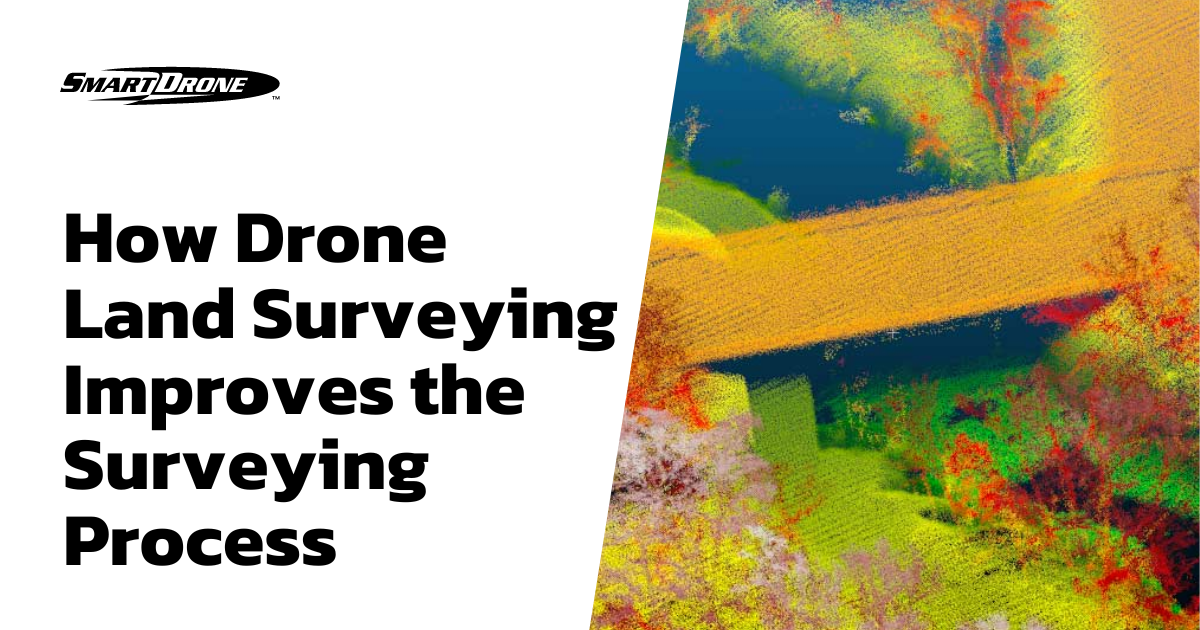
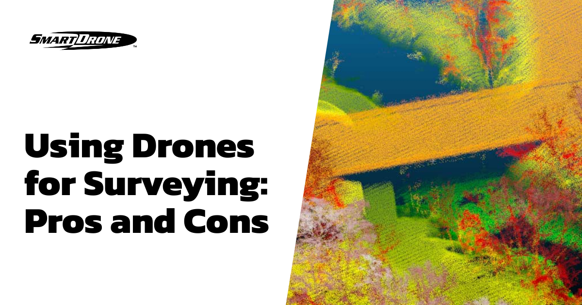
Drone land surveying involves flying drones at a steady speed and a low altitude to capture photos and measurements of the land below them. These drones are equipped with high-resolution sensors that capture overlapping point clouds or photographs at different angles. As a result, the drone creates many precise data points.
The data collected using a drone is often far richer, and has a much higher density of points than traditional methods or even airplane collections. Today, the user feeds the data captured by these sensors to software which processes this data to produce accurate 3D models, maps, and land measurements. The software makes it possible to obtain measurements from a drone without having to process and filter out unwanted information.
SmartDrone Professional Services
At SmartDrone, we have licensed and insured pilots who will guarantee you an effective and accurate topographic survey. We provide two solutions for your land surveying needs using Lidar technology drones: SmartStart and SmartProject.
The SmartStart package covers flying and processing data for 50 acres or less while demonstrating and teaching your crew the basics of aerial topo collection and how to become licensed. Does your team need training on how to use drones in land surveying? If yes, then the SmartStart project is for you. We provide in-depth training, education resources, and clear and comprehensive demonstrations on how to collect data using drones. We also process the data for you and have it in your CAD software before we leave.
The SmartProject provides surveyors with an accurate and rich terrain model derived from lidar and/or RGB data for large tracts of land. The SmartProject will also provide Lidar data for topographic mapping. This package allows you to cover projects larger than 50 acres faster and for a very competitive rate. We also offer data import training for you and your team on completion.
Smart Drone's efficient drones will help you win projects in seemingly inaccessible locations. We can fly over swampy lands, steep terrains, and high-altitude areas. With SmartProject, clients will see improved efficiency and speed to completion, resulting in increased capacity, margins, and profits.


