With LiDAR drones and drone collection technology, surveyors can save time and costs spent on projects, especially when so many surveying businesses are nearing capacity. While drones are not here to replace traditional surveying, they can offer a highly accurate and efficient method to complement traditional collection systems. Not only do drones offer an affordable supplement to your productivity, but they’ll keep your teams safe and reduce injury, especially in thick vegetated areas with steep terrains where the topography presents a risk for on-site survey crews.
How can your business get started with a drone? What are the legal requirements and costs involved? Here are 5 steps to consider to get started with land surveying using aerial drones.
1. Get your FAA Pt. 107 Certification
Although a drone is small in size when compared to a commercial aircraft, it is still considered an aircraft. The U.S. has specific rules and regulations when it comes to airspace, and all Unmanned Autonomous Vehicles (UAVs) fall in the aircraft category. In order to fly an aircraft, you have to be licensed. To be a licensed drone pilot in the US, you have to obtain the Remote Pilot Certificate from the Federal Aviation Authority (FAA).
How do you get this certificate? The FAA’s part 107 Small Unmanned Aircraft contains regulations and the eligibility criteria for you to get certified to be a drone pilot. To obtain certification, you have to pass the aeronautical knowledge exam and the vetting process.
FAA part 107 stipulates that drone pilots should have up-to-date training. Your Remote Pilot Certificate should be renewed every 24 months, and you also have to register your drone with the FAA and renew the drone license every 36 months. You are required to have your drone registration license with you when flying the drone.
This may sound intimidating, but don’t let it deter you from wanting to use a drone. With the proper training, getting your certification is just a step in the process to legally certify you. Once you receive the license, you’ll be well on your way to start flying & collecting data. It can be easy - reach out to learn more about SmartDrone’s Pt. 107 study resources for your team.
2. Identify your Project
When incorporating a drone program in your surveying, it is important to have all your project needs in mind. Drones make the collection process easier, but you’ll need to have a good idea of your project terrain and size in order to choose a drone that matches your business needs. What type of jobs do you need to be done with a drone? What drone will serve your long-term needs?
Different terrains or canopy conditions may require different sensors to maximize efficiency in the collection process. Identify the area that you will be surveying. Is it highly vegetated and canopied or is most of your work on a construction site in a wide-open field?
Different drone models have differences in the features and specs used for collecting topographic data, so it’s important for you to choose the right one for your work. For instance, if you are surveying a canopied area, Lidar technology may work best for you to map out topography through thick vegetation.
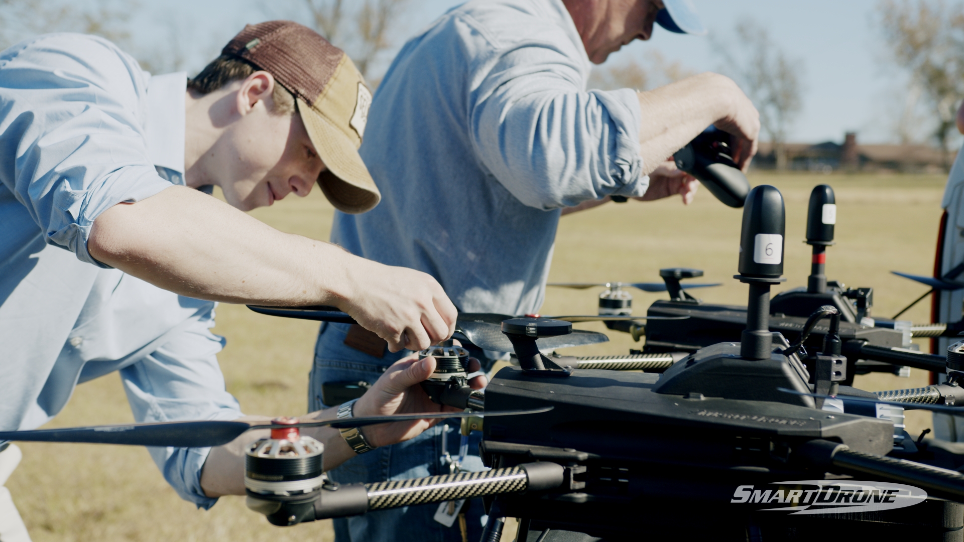
3. Research Hardware Platforms
A drone purchase is a big decision for your business, so doing extensive research is an important step in getting started with your drone surveying journey. You can research online, talk to drone service providers, or visit manufacturers and trade shows.
The drone hardware is much more than just the physical pieces that hold it together. There are cameras, sensors, and payloads that go with the drone that all must work together, and most come packaged with a recommended software suite.
Post-processing software for the data captured by the drones is an important factor to consider. The post-processing software is what puts together the images, Lidar points, and geo-positions captured by the drone. The software is what makes sense of the data captured by the drone giving you useful 3D terrain models. The best processing software will export and file into any modern CAD workflow with ease.
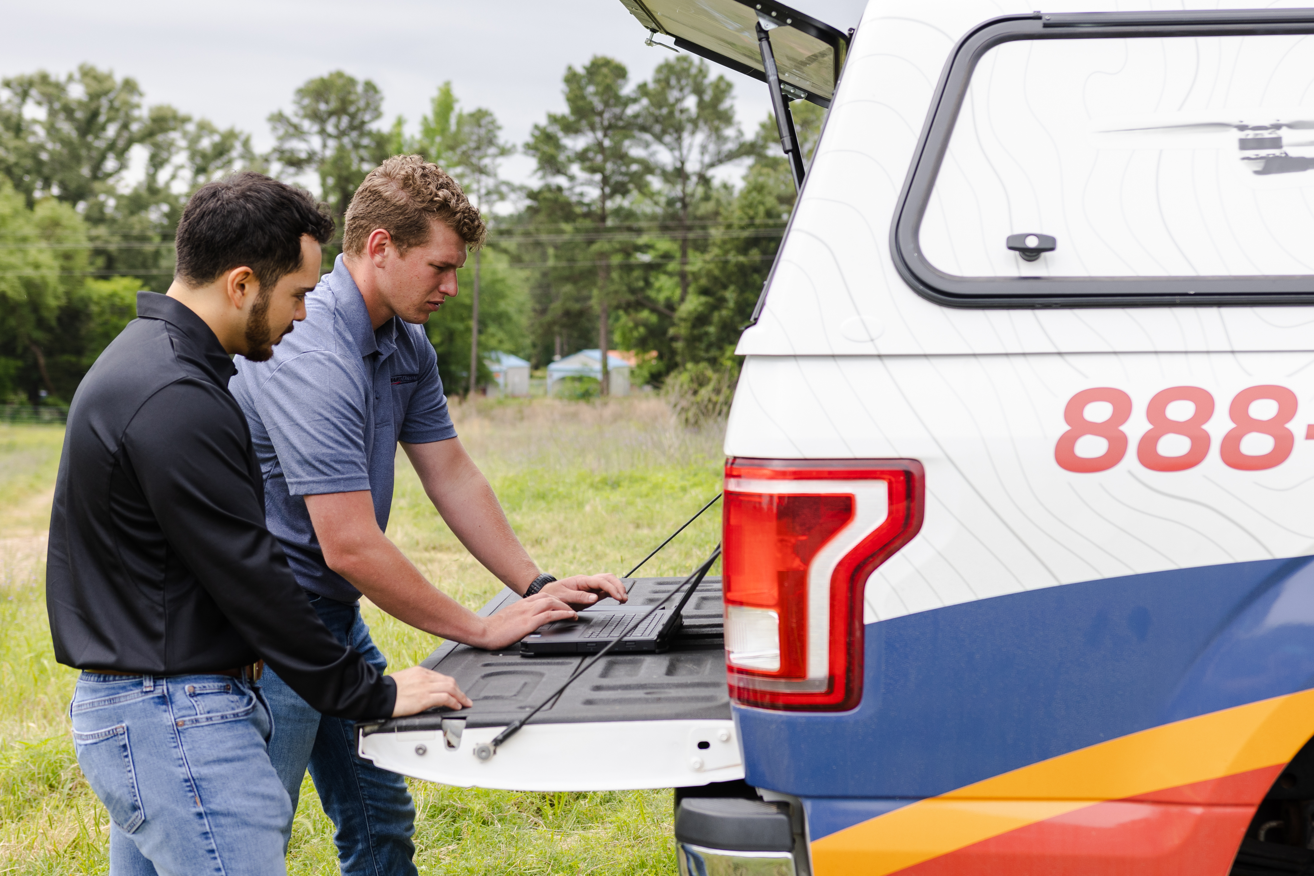
4. Research the True Cost of Ownership for Your Drone Program
Owning a drone and operating a professional drone program for surveying does come with a few additional costs other than the drone itself. Depending on your job load or job volume, some accessories and parts will contribute to these costs. You will need to consider how many acres per day or week you want to scan, and having enough batteries to complete work, who will operate the drone and attend training on delivery, how will you market a new type of data, and how will you validate the drone data on an ongoing basis against controls like a base and rover. Operating the drone may also require some different field equipment like an additional base station, or sun shades for crew and battery safety.
Another cost to consider is insurance. Drones, like any other large investment, need insurance to cover any potential damage. Although drones operate well above the ground, they are still at risk of getting damaged in the flight path. While damage is extremely rare, liability insurance will come in handy if your drone gets damaged or causes damage to property. On average, liability insurance will cost you $500-600 annually. Insuring the drone and sensors (similar to full coverage auto) can vary from around $4,000 - $6,000 per year and can be purchased through your local business broker.
5. Get a Quote on the Hardware and Software
As you compare the type of drones different manufacturers have, it is important to have the cost in mind. Some drone providers may market drone hardware and software as a package. For others, you may have to purchase hardware and software separately or piece each together a solution from third-party providers.
The drone provider should be able to give you a clear quote on the post-processing software costs. Do you need to purchase the post-processing software or does the drone provider process the data for you? If they offer post-processing of your data, they should give you a quote for the work. Many SmartDrone customers have selected our drone because we have no additional subscription costs to process LiDAR data or Orthomosaics.
Have More Questions? We Can Help.
At SmartDrone, we provide drones manufactured in the US that use Lidar technology to collect aerial data. We provide surveyors and civil engineers with a laser-focused solution for their land mapping and surveying.
We are more than happy to answer any questions you have about drones and drone surveying. Contact us with your questions, and we will get back to you promptly.
If you’re interested in seeing how it works in the field, talk with our Field Application Specialists about a professional service, and we’ll provide you with comprehensive education about the process.