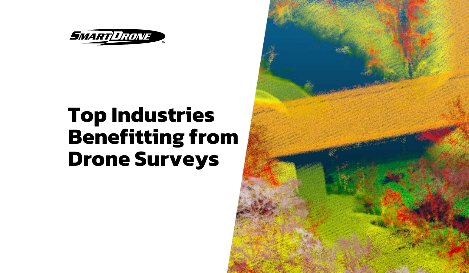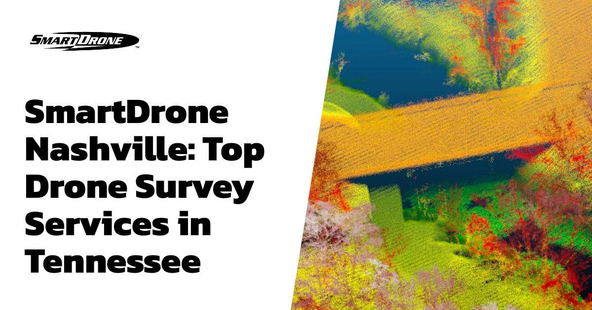
Emerging technologies have a significant impact on various industries, and the concept of drone surveying is one such revolutionizing technology. A leader in this transformative era, particularly in Nashville, Tennessee, is SmartDrone. SmartDrone offers nationwide drone survey services, changing the landscape of industries like surveying, construction, agriculture, real estate, and more. But why should Tennessee businesses consider SmartDrone? Let's take a closer look.
Accurate & Reliable
When it comes to drone surveying and mapping, accuracy and reliability can’t be in question. Our experience with drone technology, including our own drone Discovery 2 and our team of highly trained mapping specialists, gives any client peace of mind. We guarantee accurate and reliable data for every job we perform.
Efficient & Cost-effective
It’s no secret that drone mapping is faster than traditional methods. By taking data collection to the sky, we can skip the many brutally long and time-wasting steps that traditional methods require. Your clients will be impressed with how fast you get them the deliverables they requested, with no sweat off your back. Get a fixed-bid quote for our services today.
Nationwide Services
SmartDrone Professional Services are offered anywhere in the contiguous United States. Our team of Field Application Specialists(FAS) perform services which include:
- Drone topographic mapping and 1-foot contours
- Drone LiDAR scanning for heavily vegetated jobs
- Photogrammetry for orthomosaic generation
- LiDAR, ortho, and linework processing
Frequently Asked Questions
What can be achieved with drone surveying?
Drone surveying is a versatile tool suited for many tasks, including mapping large areas, inspecting properties, assessing damage, helping with land and agriculture management, and much more.
Are SmartDrone Field Application Specialists(FAS) licensed surveyors?
No, our FAS are FAA Pt. 107 certified pilots and highly trained in data collection and processing, but they are not licensed surveyors. We proudly support and work for licensed surveyors and surveying businesses. They play an important role in validating the data we collect and provide to them.
Conclusion
In conclusion, SmartDrone rises above its competitors through its accuracy and reliability, efficiency and cost-effectiveness, and nationwide services. By embracing innovative drone survey technology, SmartDrone is revolutionizing the AEC industries and providing value to businesses and individuals in Nashville and throughout the U.S.