Resident data expert and co-founder Taylor Dixon sits down with fellow team member and industry veteran Konrad Kern to discuss "What is lidar?" and share some basics about using a drone for surveying.
As you start to research drone lidar mapping, it can feel like an entirely different world. All of the sudden you're looking for the best lidar drone or you're trying to find out what a lidar drone costs, and all the while you may be lacking fundamental information. Most surveyors we talk to have a basic understanding of lidar, they feel like it's something they'll need to learn more about, but maybe they don't know all the details and want to learn more before making an investment in new technology.
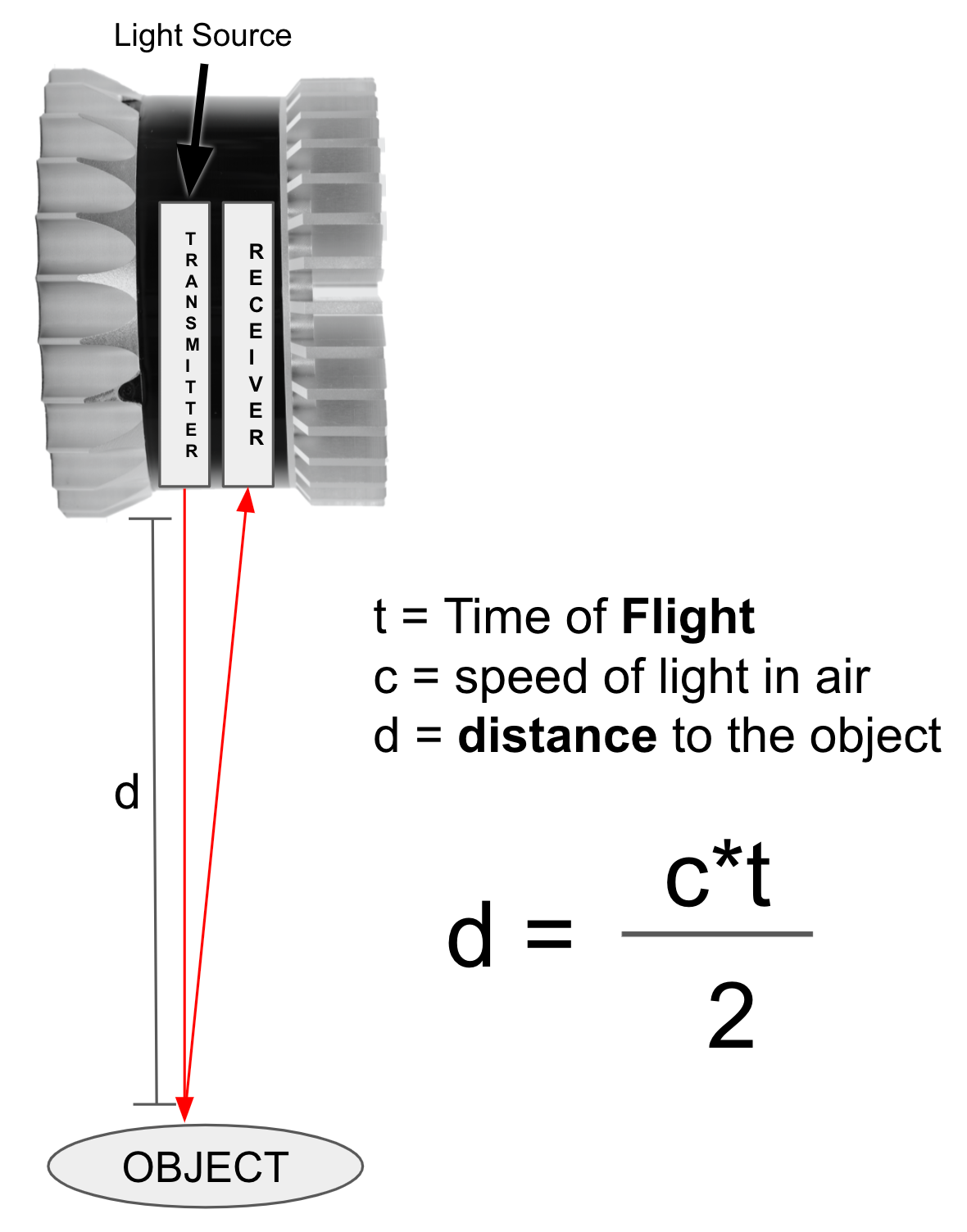
Lidar is very similar to technology that has been in the industry for quite some time, which is radar. It stands for "Light detection and ranging" or "light radar" depending on who you ask.
You have a laser which sends out a beam of light, times the light pulse bouncing back from an object, and determines the distance to that object based on the light time of flight.
Lidar can be compared to an "angular" distance measuring system such as photogrammetry. In photogrammetry, a ton of photos and image data are processed to produce a digital 3D model of a location. The problem with this type of solution is that you will not be able to penetrate canopies - and often many ground control points will be needed to 'shore up' the data for accuracy.
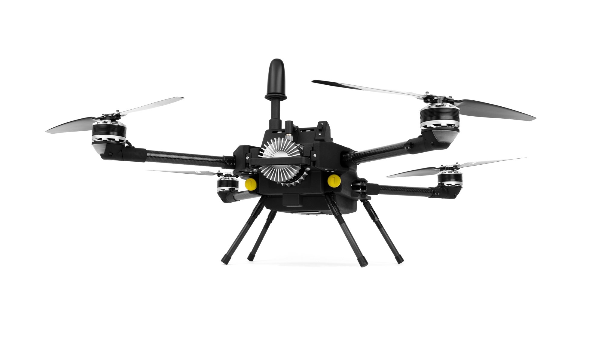
SmartDrone uses a base station (or virtual base station) and Ouster's high-precision digital lidar sensors to easily penetrate canopies and provide accurate data without ground control points.
Lidar sensors measure and report on time-of-flight. They do not feature color information like RGB cameras, though lidar data will often be shown with color gradients to communicate height value. Oftentimes when we see lidar data it looks very "picture-like" and crisp, and this is because lidar is capturing hundreds of thousands of point measurements per second - much like pointillism in art, these millions of individual points make up a 3D model that we can see and interpret as the building or piece of land we just scanned.
Ultimately, lidar is a fantastic sensor solution for a wide variety of applications in the built environment. Being able to collect precise ground data even in thick vegetation reduces field time and increases productivity without overworking teams.