Drone technology has revolutionized the mapping and surveying process. Integrating drones in mapping and surveying increases the efficiency and accuracy of mapping. Businesses that adopt drone mapping save time and money and, at the same time, keep their workers safe.
Incorporating drone mapping into your business can greatly improve your overall business model. But which is the best drone mapping solution for your business?
Here are a few considerations to help you evaluate the right drone mapping services for your business:
Accuracy Requirements
It is important to evaluate your type of job when considering a drone mapping service. Some types of jobs, like open terrain or vegetated bare earth, may have lower accuracy requirements - such as when collecting one-foot contours. In other instances, such as in the built environment, a higher degree of accuracy is required.
Accuracy in drone surveying is determined by the closeness of the 3D data obtained from the drone survey to the real-world measurement of the survey site using GPS equipment as a control. There are two types of accuracy in drone mapping: relative accuracy and absolute accuracy.
Relative accuracy refers to the accuracy of one point on a map with respect to another point on the same map. On the other hand, absolute accuracy refers to the accuracy of a point in relation to coordinates, i.e., longitudes and latitudes in the real world, corresponding to the x, y, and z coordinates.
Your service provider should make clear the standard levels of horizontal and vertical accuracies that their drones can achieve. Ensure that the accuracy requirements will be enough according to your project’s needs.
Accuracy Validation
Another important thing you should ask the service provider is how they geo-locate their data and validate it to the accuracy they provide. Ask them about what their control process or system is that they compare their data against to calculate their accuracy percentages.
Some providers may use checkpoints known as Ground Control Points that are mapped by a qualified surveyor on the ground. Others may validate using a GPS and rover base, taking check shots that ensure that the maps are accurate and the images are stitched together accurately.
Photogrammetry vs. LiDAR
Drone mapping services can use several types of remote-sensing technologies. Photogrammetry and LiDAR are two of the most common types of drone mapping technologies. Your choice of a drone mapping solution will be influenced by the area to be surveyed and the type of data that you need.
- Photogrammetry
Photogrammetry involves the creation of 3D models from a series of high-resolution photographs of an object. The drone is loaded with several cameras, and photos of the ground below are taken from different angles and points. A positional value and even point cloud created from at least two photographs taken from different angles overlapping - and more often requiring three images overlapping. This orthorectified result is used to create the 3D coordinates of the points in the area to be mapped.
- LiDAR
Light detection and ranging (LiDAR) is a remote sensing technology that uses laser light to measure the position of an object. Lidar sensors cast pulses of laser light on the target object or ground. LiDAR technology measures the pulse’s reflection time using a sensor. The time it takes for the LiDAR pulses to bounce back to the photodetector is a measure of the distance of the object.
- When to use LiDAR or photogrammetry
These two technologies are well suited for different uses. If your business involves mapping and surveying areas with dense vegetative cover, LiDAR technology might be better than photogrammetry. With LiDAR technology, light pulses can penetrate between trees, canopies, branches, and leaves to the ground. Photogrammetry may be more effective in construction environments or scanning neighborhoods or buildings such as a car dealership or large tracts covering thousands of acres for solar panel installations.
Timeline
Consider the timeline for your project and the date needed for completion. Does your job need completion quickly? Do you have ample time to complete the project without using a drone service? Drones can help speed the time to completion, and most of the time, drone mapping services are needed to expedite the job and keep customer deadlines satisfied.
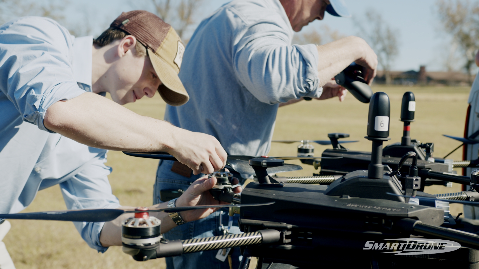
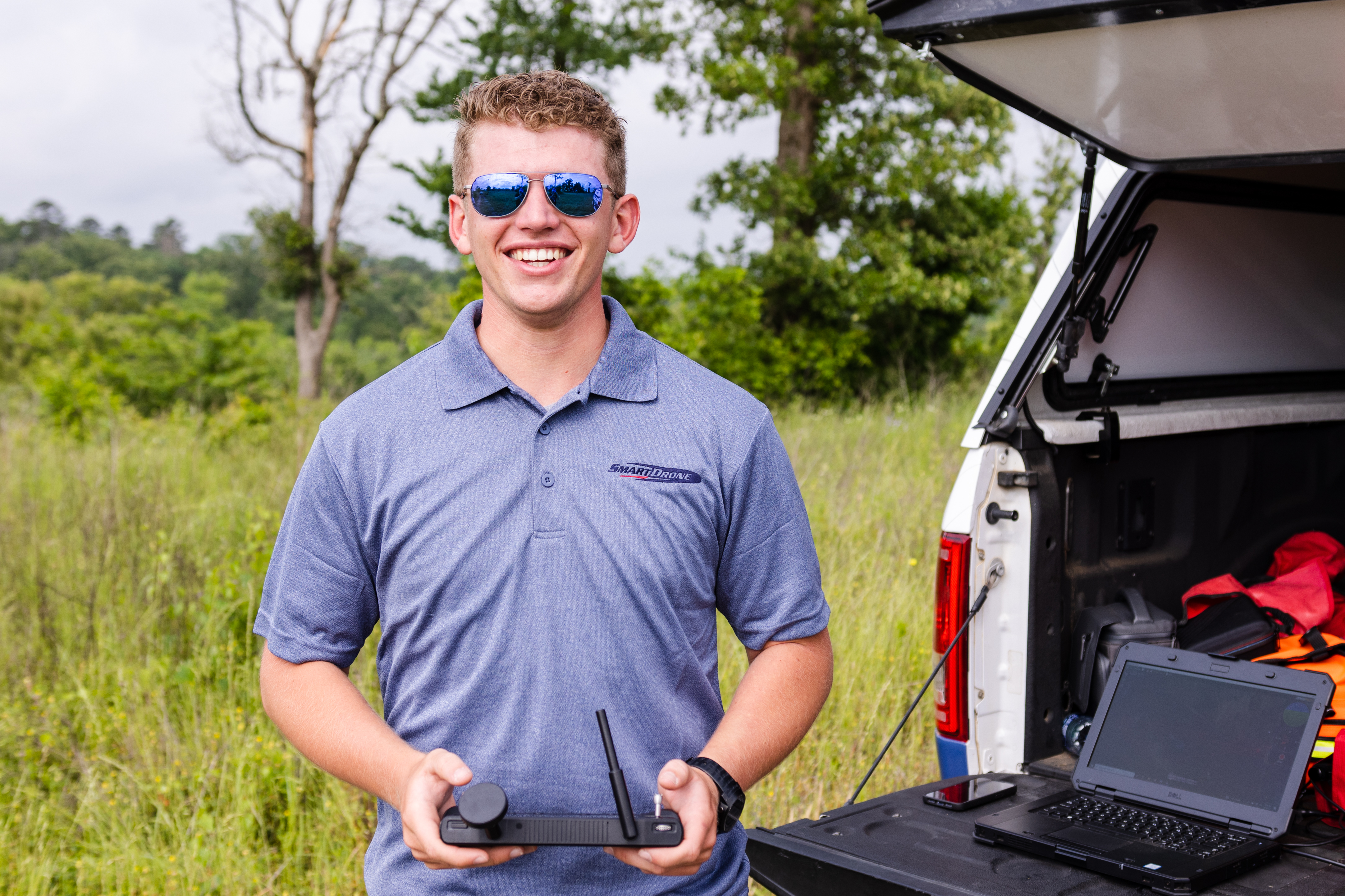
SmartDrone Professional Services
If you’ve considered all these factors and are looking for a professional service, you may want to consider SmartDrone Professional Services. We use LiDAR and RGB photo technology to provide you with accurate, competitively-priced data collection and delivery that will speed up your time to completion.