In this blog post on the best reasons to use a topographic drone for your business, we'll discuss how a drone can be a valuable tool in surveying and mapping land. We'll also talk about what makes a good drone and what to look for when purchasing one. Scroll down to learn more!
Section 1: Benefits of topographic drones
Section 2: Why should you invest in topographic drones?
Section 3: Best places to use a topographic drone
Section 4: The best time for using a drone
Section 5: Conclusion
Benefits of topographic drones
Topographic drones allow you to map land more quickly than traditional methods. These drones often have a camera on the bottom to gather images and then use ground control points to assign the location of each image and use photogrammetry to generate topographic maps. This allows the drone to survey land that may not be easy to access for a traditional surveying crew.
Camera-based topographic drones like these can be great low-cost ways to begin using drones in business. They can be a few thousand dollars, and there are many software options and video guides online. These drones struggle with canopies and vegetation – they don't have a way to penetrate a canopy or see the ground below.
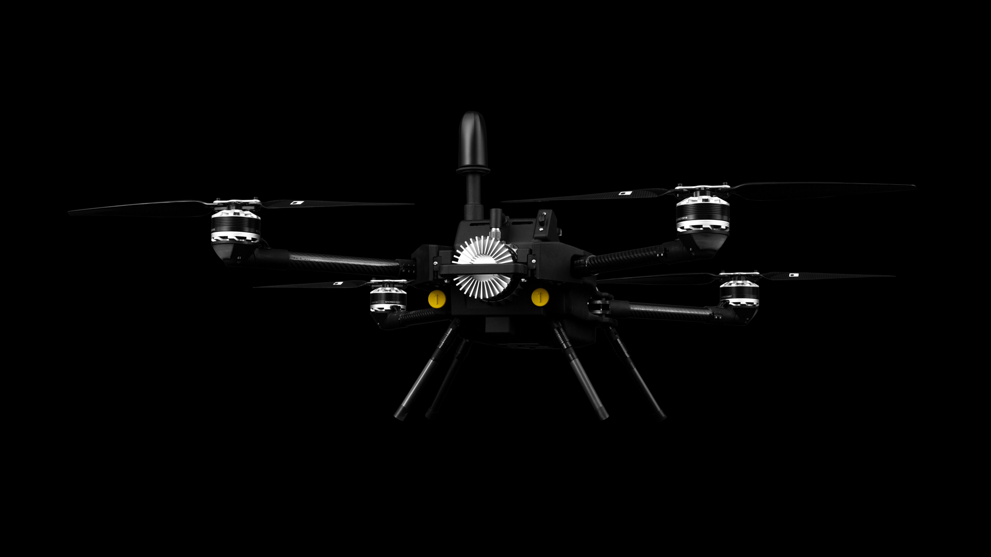
A sensor type that can penetrate canopies is lidar. Drone lidar has become more prevalent in recent years as lidar scanner prices have come down. UAV lidar systems often found in an industrial drone use a laser to see between leaves or vegetation and measure the ground below for surveying and mapping.
Why should you invest in lidar equipment?
Lidar allows users to map the terrain as it is, without the interference of trees, signs, or other objects. Traditional mapping involves weeks or even months on the ground, potential for rework and accidents. Photo-based drones are great where you can use them and still take days to process and get right.
While using lidar, time in the field collecting data becomes necessary for boundaries, as-builts, and taking check shots for evaluating the quality of the drone data in CAD. A drone such as Discovery flies autonomously and scans the ground and every tree branch and leaf. In the past, this wealth of data has made it difficult for surveyors to adopt lidar – and not anymore.
Using our lidar 3d mapping software, the surveyor easily and automatically filters out vegetation and delivers data subsampled to their specified grid. Data processed this way is exported as ASCII readable .XYZ files and can then be imported into existing CAD workflows, such as Carlson, Civil3D, MicroStation, and more to create a comprehensive, accurate contour map.
Best places to use a topographic drone
The reasons to evaluate drones or autonomous technology are that they can reduce cost, grow revenue, and increase productivity. Drones reduce costs by lowering direct labor, accidents, injuries, rework, returns, and equipment costs.
Weeks and sometimes even months of in-field collection can be done by a drone in one day. Safety is improved, as each year in the construction industry, 3% of team members will be away from work due to injuries on the job – a drone can fly an area and map while crews take on safer work.
Bringing a drone on at your business can grow revenue by tackling larger jobs, increasing the serviceable market, increasing existing production, and producing higher detail maps for engineers and design customers.
Land surveyors are adopting drones to map in dangerous or inhospitable places, and examples of this are mines or steep elevations. We gain more precise maps and feature far more detail in places that previously could not be accessed in all of these situations.
The best time for using a drone
When we're asking what the best time is to use a drone or bring a drone to work for you, often it's about where you are in your "journey".
If you're comparing aerial collection to traditional methods only, you'll be evaluating how important it is to innovate for your business. Look to competitors and see what they are using, see if your customers are asking for deliverables like these. Finally, are your teams or crews asking for tools like this?
Maybe you're a little further along and evaluating 3d lidar vs photogrammetry drones. Is an accurate view "through the trees" with high-resolution digital lidar and quick processing needed? Do you operate in heavy canopies or changing light conditions? These would all be a reason to look at drone lidar mapping.
Conclusion
Topographic drones come at all different types and prices, depending on the features you need. Drone lidar cost can vary from similar prices to total stations and GPS equipment to multiple six figures. At SmartDrone, we're focused on bringing to market a competent and well-priced drone solution that takes out all of the difficult parts of using lidar data - and delivers usable ground data quickly. We make it simple to go from little understanding of lidar to quickly and easily collect excellent data. If you're looking for more resources and to learn more about drone-based lidar, reach out and contact our team of experts today.