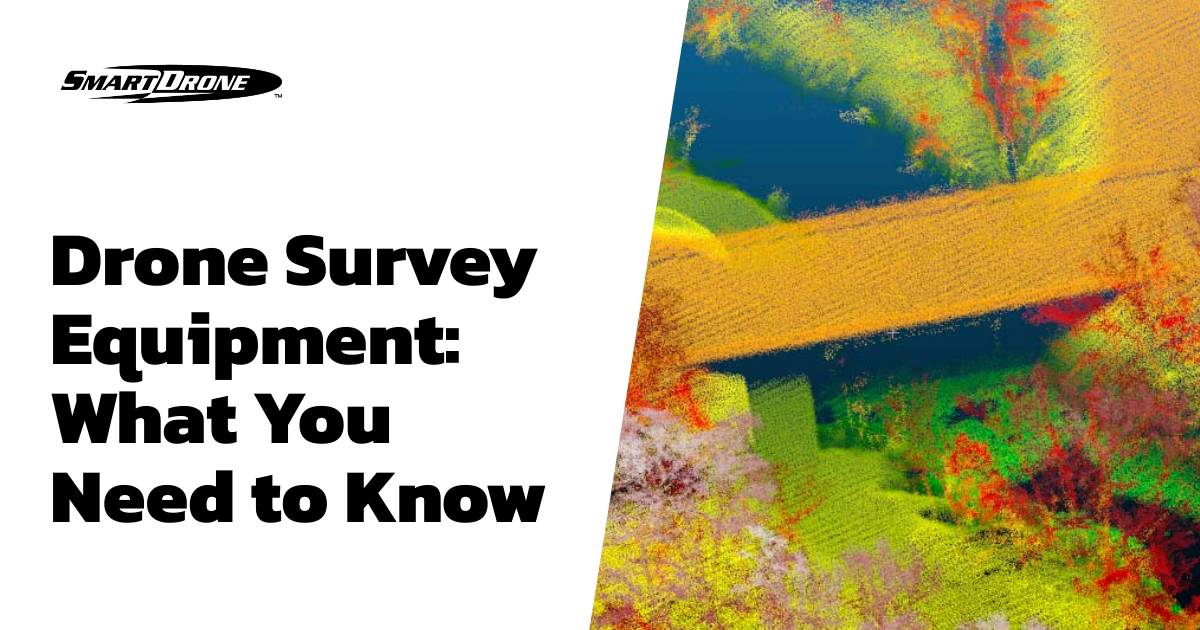
From mapping photos to surveying land, these unmanned aerial vehicles (UAVs) can be programmed to carry out various tasks limited only by the user's imagination. Here's a breakdown of what you need to know about topographic drones.
Section 1: What is a Topographic Drone?
Section 2: Why Use a Topographic Drone?
Section 3: How Do You Choose A Topographic Drone?
Section 4: What Is The Future Of Topographic Drones?
Section 5: Conclusion
What is a Topographic Drone?
Using the new generation of satellites, high-resolution instruments, and advanced image processing, lidar drones and photogrammetry drones produce images offering a precise topographical measurement of the Earth. They create a detailed picture of terrain and vegetation. The height and elevation measurements measured by these drones are then used to generate topo maps.
With the precise information gathered from drone topo data, landowners can make much better decisions in their land management, and civil engineers spend less time interpolating between points. They know exactly where to send resources, where to put roads and pipelines, and where it is safe to build in or around the terrain.
Why Use a Topographic Drone?
Most businesses interested in applying drone technology have been doing it with low-cost photogrammetry drones. You can fly them quickly, often saving field collection time, making long-distance flights, and capturing photos and videos. They work well and generally in the ways you'd expect. However, drones equipped with only RGB sensors cannot penetrate canopies – and the productivity benefits with this type of drone will be limited to open plains and open environments. Once the collection occurs, photogrammetric or photo processing can take hours or days, depending on the level of detail needed.
Lidar drones change this in many ways – first, the data they output can be processed much more quickly. This means that they can achieve closer to real-time coverage and respond promptly to changing conditions and changing requirements. That's particularly important for monitoring construction sites and other sites where things can change very quickly and where operators must be able to take quick action to get as much information as possible.
How Do You Choose A Topographic Drone?
It's common that aerial maps are used and are a big part of planning any sort of construction. From roads and paths to waterways and major roads, maps and aerial imagery are vital for everyday life. Getting the right knowledge about a drone that can collect and help generate these maps is just one way to ensure that you're making the most of this topographical mapping. We suggest 1) reaching out to multiple manufacturers and gauging their service 2) asking for a quote and ask for a demo 3) looking past the hardware into the processing times, costs, and how much you'll need to learn to utilize this technology.
What Is The Future Of Topographic Drones?
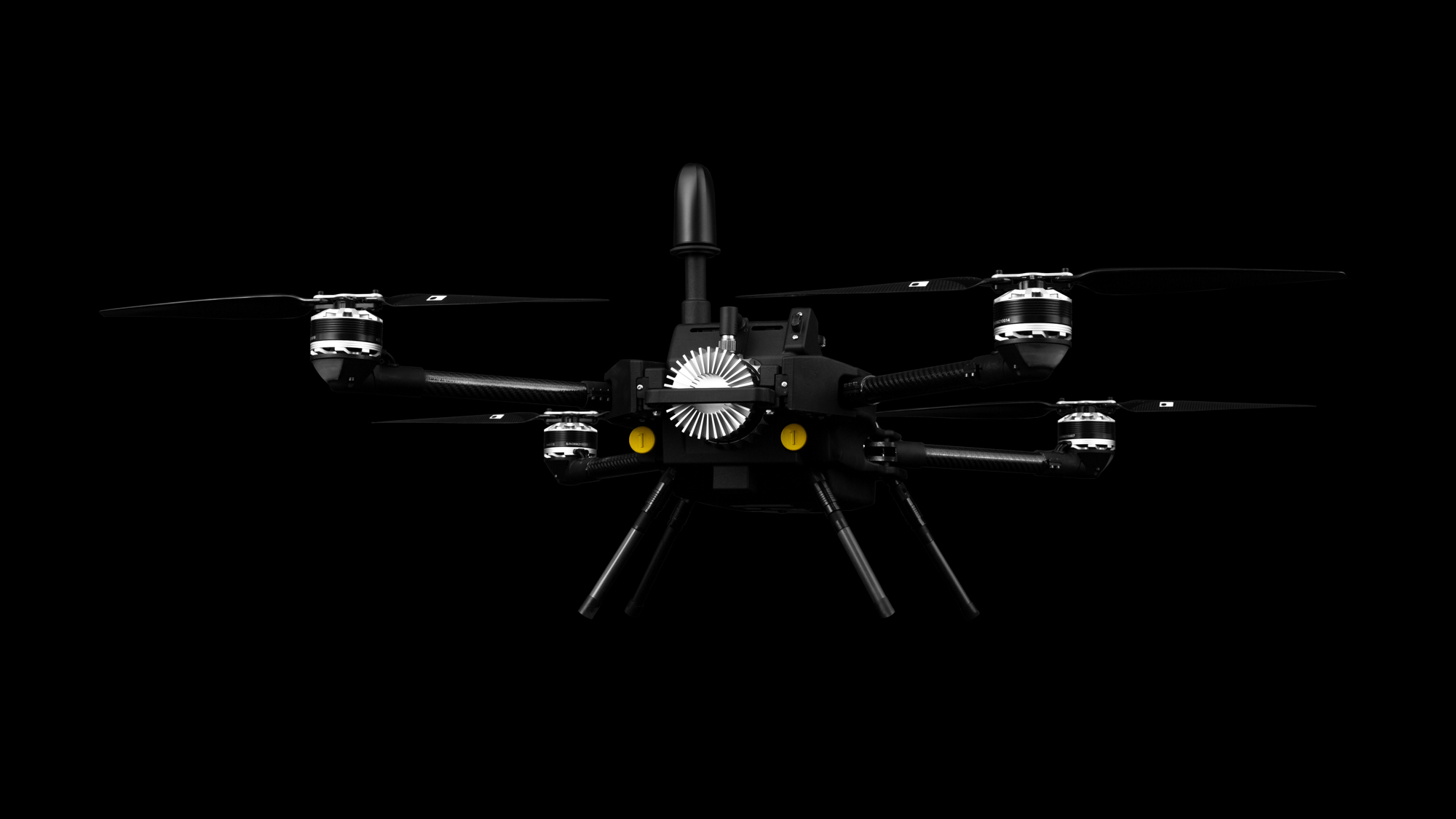
Being a small industrial drone manufacturer with a specialty in lidar, we are proud to build the future of topographic drones. For SmartDrone, it all began with the launch of a new mapping tool, the Discovery drone. There's a buzz about this drone, and for good reason. It is one of the most exciting surveying tools that has hit the market this year. It can collect more than 50 acres in one flight while scanning with high-precision digital lidar. Discovery features a breathtaking design for a drone, and this is just the beginning for SmartDrone. Why is this lidar drone platform different? The answer lies in what this drone is known for – fast one-foot contours. First, Discovery can fly all over and capture bare earth topographies at least 10x faster than traditional methods. Finally, our lidar mapping software will process the data for you, easily clearing out vegetation and delivering ground data that can import to any CAD software.
Conclusion
If you found this article useful, you may be interested in learning more about surveying and mapping with drones or maybe just want to see some more examples and tips – check out some additional blog posts and our YouTube channel for more. If you're a little further in your buying process, consider a SmartStart or SmartProject. You can also check out what the experts think of the data by reading our whitepaper.

.jpg)