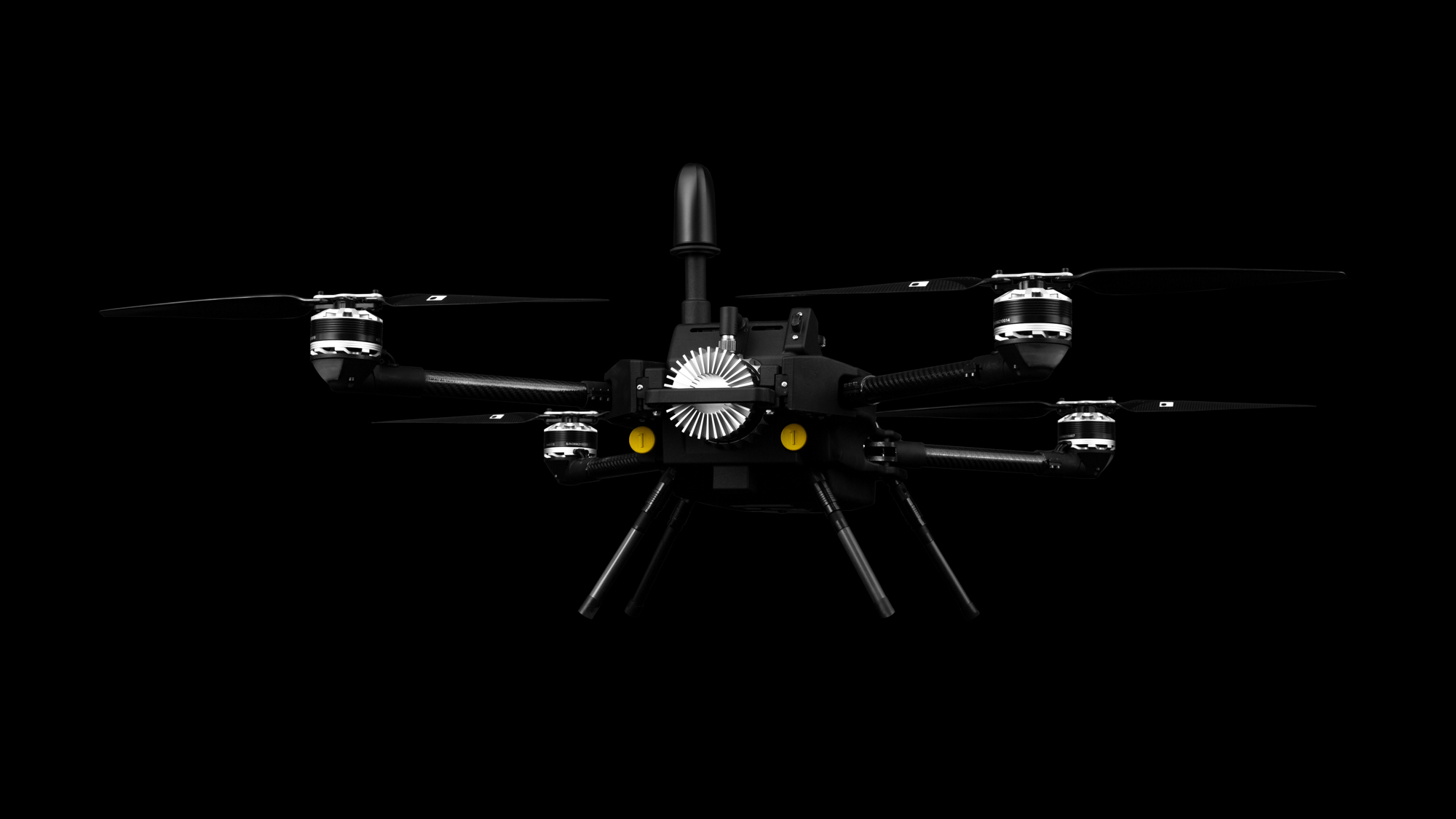
With drone surveying, it is easier than ever to collect high-density LiDAR data used to create a 3D model through canopies and vegetation. Data can be delivered to you in the form of topographical maps, point clouds, and ground shot grids, all in a variety of file formats.
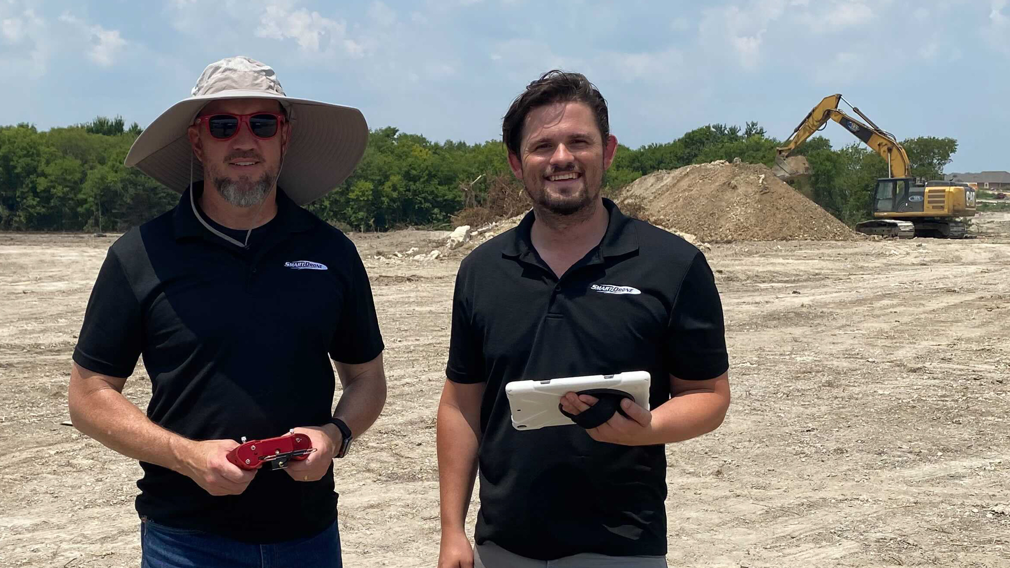
With UAV aerial survey as a new business line, surveyors and engineers can easily scan heavily vegetated job sites and areas of heavy road traffic. Aerial 3D mapping can help small companies obtain large projects and any company can use drones on jobs, even for smaller areas.
Using a drone to map and penetrate heavy tree canopies, finding ground points in otherwise impossible to reach locations, and having less guesswork to do when designing, are some of the many features and benefits to aerial drone solutions with lidar.
Additional Drone Benefits to Surveying:
- Low-cost data collection
- Improved safety and less in field time
- High-density point clouds
- Drone point clouds allow for:
- All-inclusive “hybrid survey” of work area, less interpolation or guesswork
- Fewer manual surveying points
- Precise measure of specific points
In addition, drone data allows for:
- Topographical mapping
- Watershed & flood analysis
- More precise line work for engineering
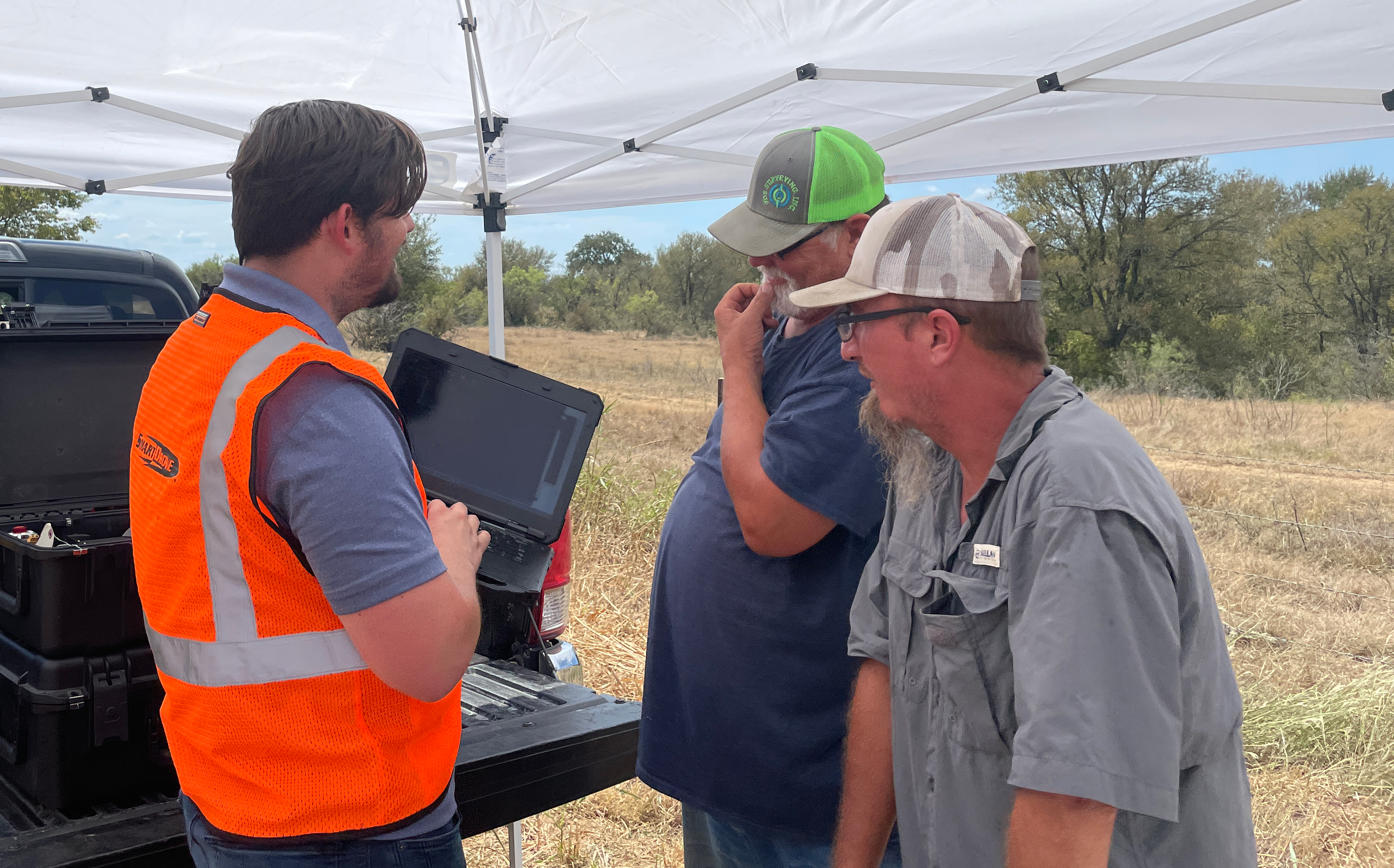
Drone surveying and a drone 3d model can help surveyors more precisely measure elements that conventional surveying might miss without many hours of field labor. This in helps optimize business procedures, safety and overhead costs, and job estimating for saving money and adding to the bottom line.
Give professional drone solutions and UAV aerial survey a try for your business. Call us or reach out for more information and to see how we can help you implement aerial services for your business.
Drone Surveying and Mapping FAQ
Drone LiDAR weaknesses?
Our LiDAR doesn’t penetrate water and it can’t map items buried underground.
What kind of density can we produce?
We collect 200,000 shots/sec or more. That produces a point density after all vegetation filtration of 8+ points per square foot.
What is our accuracy?
We have validated our accuracy to NMAS, ASPRS, and USGS national standards for one foot contours, which is 2/10s (“two tenths”) vertical and horizontal.
How do you keep the accuracy?
We use direct georeferencing and PPK with a local base for absolute point cloud positioning (we make sure the data matches your specs).
How do you check accuracy?
In addition to our local base station observation, we encourage taking numerous validation shots or “check points” to verify accuracy within the point cloud.
Safety?
We operate at all times with our authorized Pilot and “Observer”. If the job warrants, we add extra crew members to keep needed areas clear and safe for flight. Becoming certified can be done in a week or two of studying at night.
Liability?
Drone liability insurance is extremely cheap and easy to get. We recommend calling your local insurance broker or using an online service. General liability coverage can be had for minutes at a time at a very low cost.
Insurance for the drone itself should it crash or have issue can also be purchased much like full coverage car insurance. This is a more lengthy process and will have a higher cost depending on the drone platform being insured.