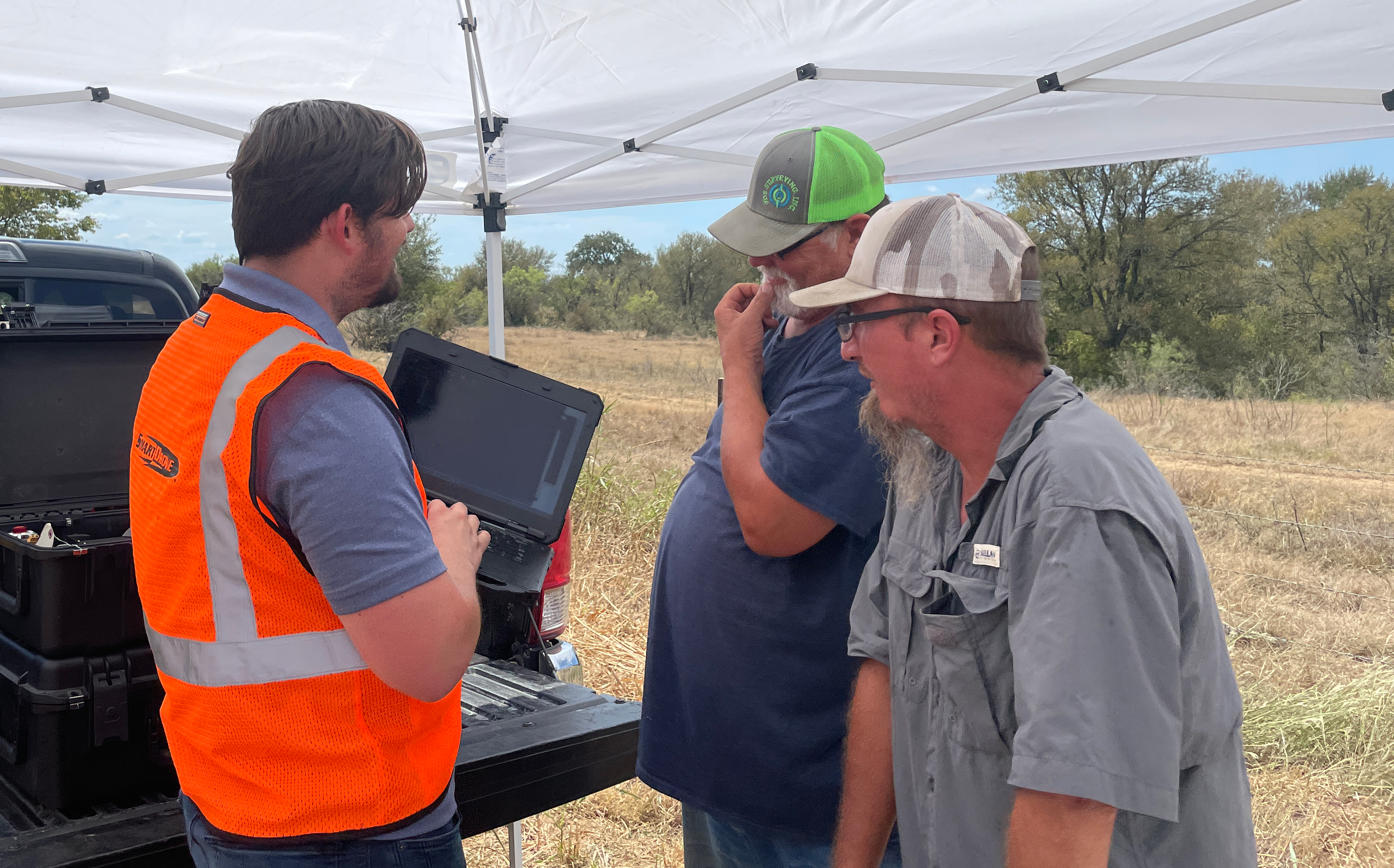
SmartDrone SmartProject services works with engineering and survey companies to collect lidar data for topographical mapping and drone lidar mapping. While our jobs average about 80 acres, we have completed up to 450 acres in a day and look at jobs that are a thousand acres or more.
Our most common deliverable is ground shot grids which are used for 1’ contour maps. The biggest draw for many surveyors and engineers is a drone solution with lidar’s ability to penetrate heavily treed areas. This allows significant cost reductions on a project and even allows them to bid a project they simply could not have completed without using a drone to map.
Drone-based lidar after vegetation filtering can produce 8+ useable points per square foot even in some of the heaviest vegetation. Contour maps can be created at almost any interval (1’, 2’ contours) and at great resolution if need be. The biggest benefit can be seen in the labor savings in heavily treed or difficult to access areas.
We can fly over hard-to-reach locations and areas of heavy road traffic. We can help small companies obtain large projects and any company can use us for professional drone services through the United States.
It is important to note we are not certified surveyors or engineers. We manufacture a scanning tool to help the industry be more productive and collect more valuable data – we are one of the few UAV manufacturers in the USA that is also providing services that help you evaluate using a UAV for surveying and mapping.
With SmartProject we take another step toward being your Texas drone company with comprehensive drone services throughout the US, collecting topography scans, ground data through vegetation, and more. Our experienced project managers and FAA certified pilot, we can work on any scale project and offer high-quality deliverables. Please contact us now for a consultation.
SmartProject Workflow:
- Define Job Area (.kmz files)
- Define Deliverables
- Point cloud
- DTM
- Topography
- Cross-Sections
- Confirm Property Permission
- Plan Mission
- Set Base Station – Collect Verification Shots
- Fly Property
- Process Data
- Deliverables
- Request Feedback to Refine Deliverables
Drone Services for Multiple Industries
We provide drone services to leaders in surveying, engineering, and earthwork across Texas and the United States.
Areas in Texas We Serve
Houston, Dallas, East Texas, Ft Worth, San Antonio, Austin, Plano, Denton, Sugar Land, Oklahoma City, Tulsa, and all of the United States.
Our network of FAA-certified drone license in Texas pilots are ready to deploy for your next project across Texas and the United States.
Schedule a Free Consultation for Drone Services in Texas
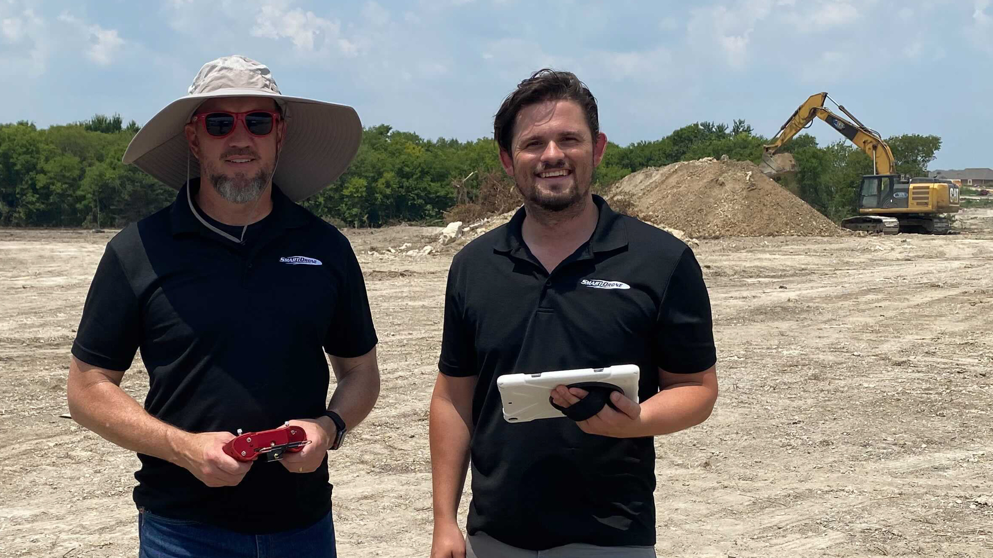
At SmartDrone, we have FAA-certified, insured pilots, all of whom bring experience to each project, while our project management team will provide you with the high-quality deliverables you need in a quick turnaround time.
Learn more about how we can help you meet your goals when you schedule a consultation with us. Give us a call at 1-888-708-8818 or request a SmartProject quote to get started.