Thank you to the land surveyors, civil engineers, and civil construction groups who wrote in with great questions and attended the AMA! Sign up for a Virtual Demo to ask any follow-up questions or learn more.
Out of about 22 questions covered in the AMA, 18% were questions about total package cost and insurance cost, almost one-third were about drones, sensors & hardware, 18% were about processing and workflows, and 22% of the questions were about the accuracy of aerial lidar workflows.
Questions from this AMA:
General Lidar & Ortho Data Overview - 2:25
Can I collect lidar and orthomosaics at the same time? - 5:26
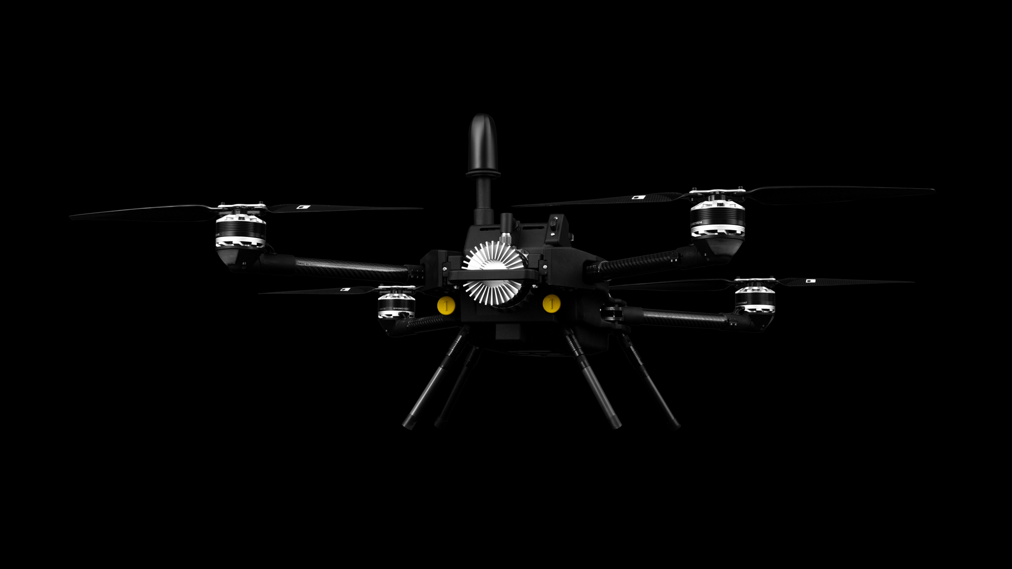
Are there limitations for drones with rain, cold, or wind? - 6:06
How much area can a drone cover in a single flight? - 7:41
Are malfunctions in landing, returning, or flight expected? - 8:58
Does a lidar drone need to use an RTK base station? - 9:52
How do residential small lot surveys work with lidar? - 12:04
How does a drone deal with steep terrain? - 14:28
Is operating a heavier or larger drone more challenging? - 16:06
What training availability does SmartDrone offer? - 17:18
Starting from raw data, what steps are needed for creating a CAD drawing with contours? - 20:31
What is required to make deliverables similar to those provided by a traditional aerial topography vendor? - 20:31
Lidar Processing Software Demonstration - 23:16
What software is needed for processing? - 30:29
Does the lidar sensor need calibration? - 33:29
Can lidar be performed with snow cover? - 35:05
Which is better, photogrammetry or lidar? - 36:09
Can drones hit topography standards? - 36:46
Can drones identify trees? - 37:47
What are the entry costs for lidar drones? - 38:16
What is the cost of a basic lidar drone for handling small 10 to 20 acre tracts? - 38:16
What types of insurance coverage is available for drone mishaps? Costs? - 42:36
How do I know I need a lidar drone? - 44:28
How can I reach out and learn more? - 51:25
Free and Open Source Software Featured:
- CloudCompare: Lidar, orthomosaic, cloud viewer https://www.cloudcompare.org/
- QGroundControl: Flight control, mission planning http://qgroundcontrol.com/