As a small industrial drone manufacturer, our customers often come to us when they are evaluating the idea of a drone project or trying to determine whether a drone will fit their business needs. They are left feeling confused about the costs of certifying their crews to fly legally, what it takes to process and clean up lidar data, and what the true costs of ownership will be for drone mapping.
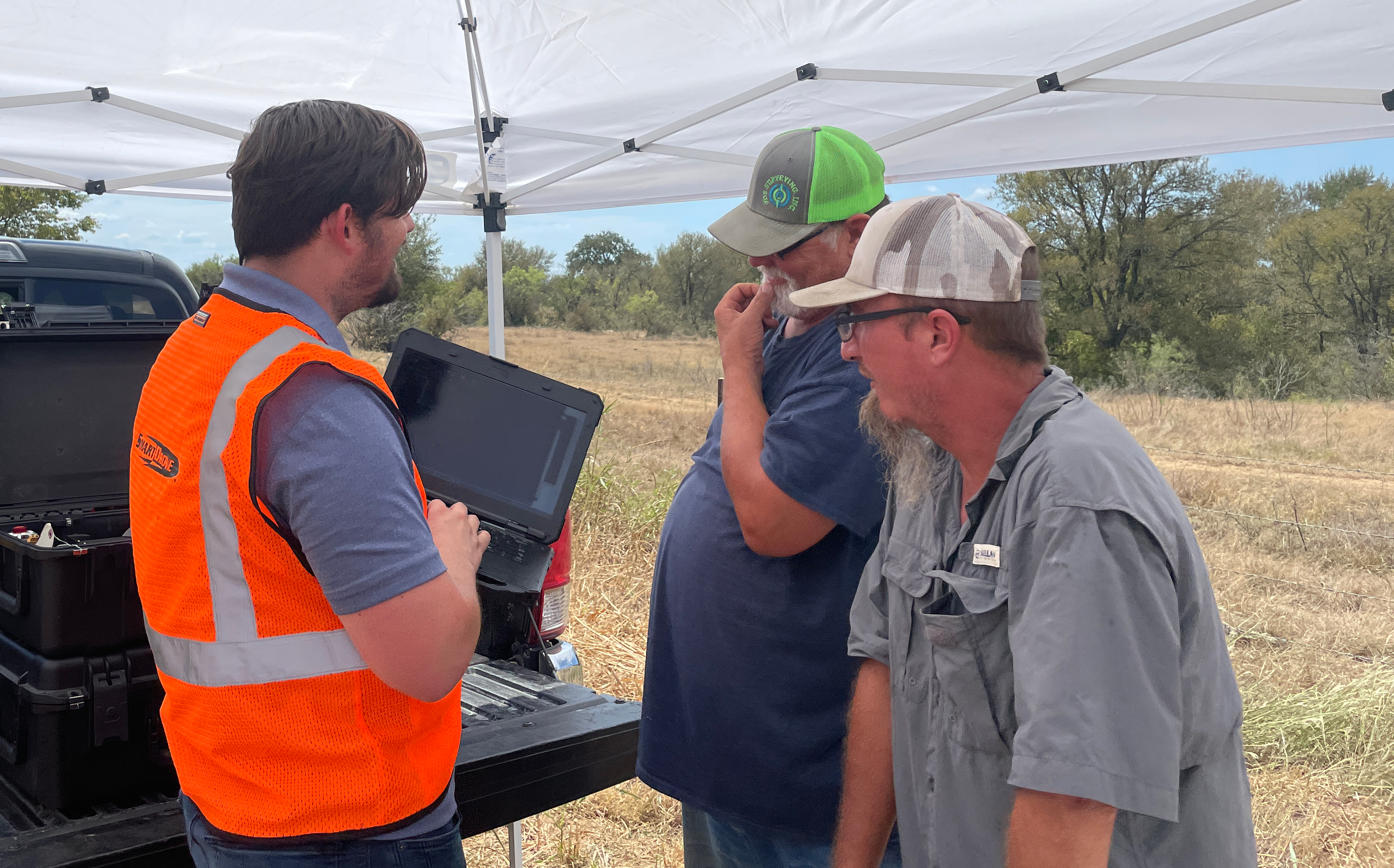
We designed the SmartStart program for the surveyors, civil engineers, and earthworks leaders reaching out to us who still weren't sure how difficult or costly it would be to get their crews certified as drone pilots or whether they'd be able to pass. Next, we help them with lidar basics because they want to understand what is going on under the hood with lidar collection before turning data over to a customer. Over time - we improved and developed a system for educating with Pt. 107 Study Resources, illustrating lidar collections by educating on image chains, and demonstrating end-to-end a lidar collection at a customer's job site.
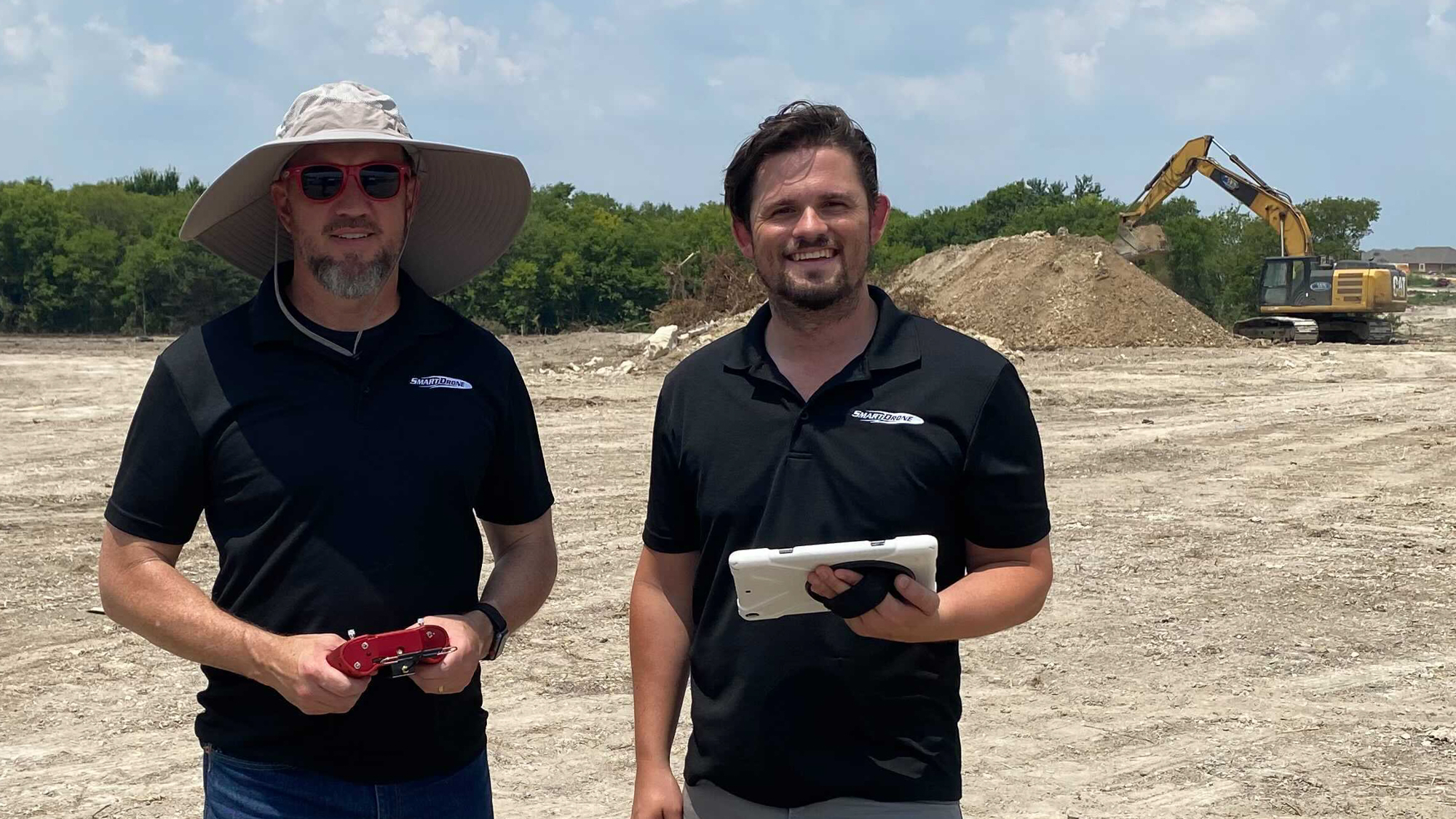
SmartStart works because we bring the knowledge and 'classroom' to you. We educate your crew chiefs when they are present, and let your team get hands on with the technology. All in one day (so long as you have a known control point for our base station) we set up our base, fly up to 50 acres, process the data in the field, and then go back to your office to import topographic ground shots in your CAD software. Our instruction during the day can happen either in the field, or back at your office. We're taking all the guess work or potential for confusion out by bringing you and your team up to speed and showing you a full end-to-end process in your own software workflow.
Most leaders in surveying we talk to know this technology is coming fast and want to be prepared, the Bureau of Labor Statistics projects surveyor employment to grow less than half as quickly as other professions saying, "Surveyors will continue to be needed to certify boundary lines, work on resource extraction projects, and review sites for construction. However, the use of drones and other technologies is expected to increase worker productivity and may therefore limit employment growth." This all leaves the business owners and leaders who complete SmartStart feeling like they know enough basics to branch out and keep growing their businesses even as the industry progresses. They feel relieved because they're ahead of the curve and finally have firsthand experience with UAV systems and the tools and equipment drone technology uses.
SmartStart is serving the greater Houston, Dallas, East Texas, Ft Worth, San Antonio, Austin, Plano, Denton, Sugar Land, Oklahoma City, and Tulsa regions with drone topographic survey specific training and basic training on the use of drones. There is a cost for this program - which can be credited toward your Discovery purchase within 30 days. Learn more about SmartStart and contact us to book a LiDAR training event.