Surveying is an essential process in various industries and requires a high level of accuracy. With technological advancements, drones have become an integral tool for surveying and mapping. However, selecting the right drone can be quite challenging, especially for beginners. This guide aims to help you choose the appropriate drone for your surveying needs.
1. Purpose of Surveying
The first step in selecting the right drone for surveying is to identify the purpose of the survey. Different industries require different types of surveying, each with its unique requirements. For example, agricultural surveying may require a drone with thermal imaging capabilities to detect plant health, while construction surveying may require a drone with high-resolution cameras or LiDAR sensors to capture detailed images of the site.
2. Flight Time
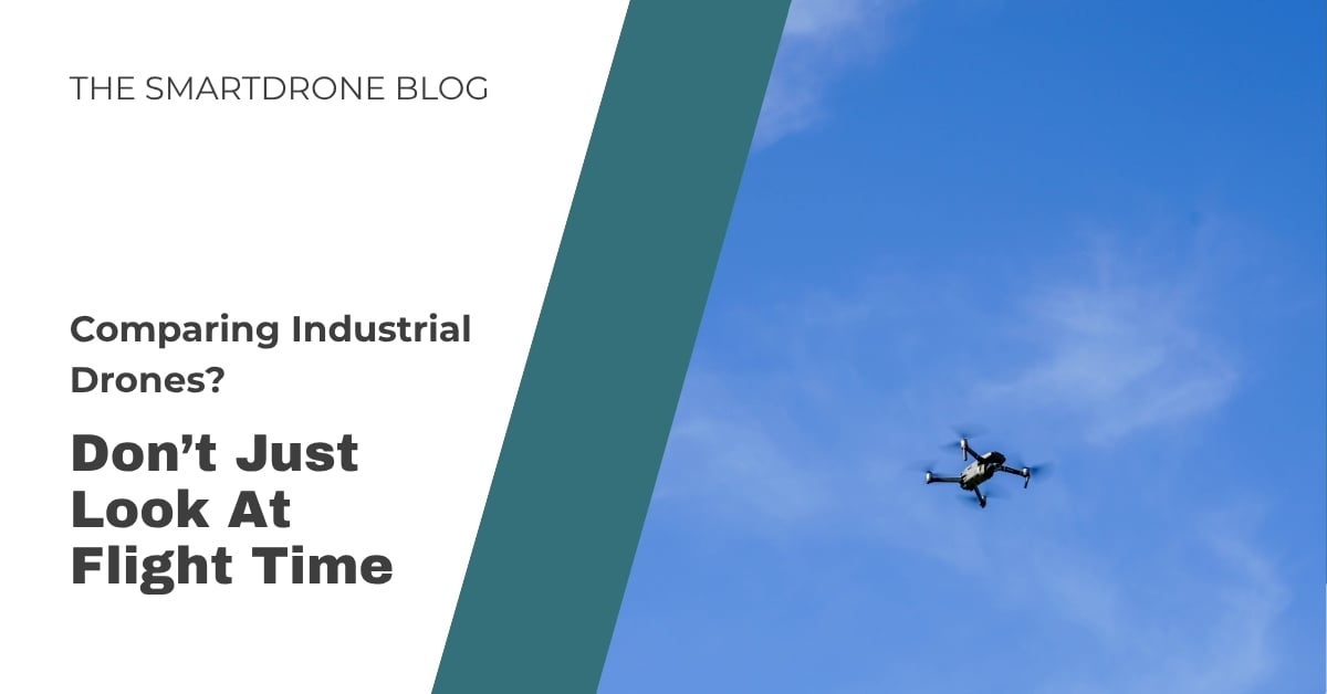
Drone flight time is crucial, particularly when surveying large areas. Drones with extended flight times reduce the number of flights necessary to complete a survey, thereby enhancing efficiency and saving time and costs. Typical commercial drones have a flight time ranging from 15 to 30 minutes. However, specific specialized drones can achieve longer flight times. Factors such as payload weight, weather conditions, and battery capacity also influence the drone's flight time.
3. Payload Types
The type of sensor (or payload) carried by your drone greatly influences the kind of data you can collect.
RGB Cameras: RGB cameras, the most common drone payload, capture standard digital images. They're frequently employed in visual inspections, real estate photography, and simple topographical surveys. Their data is often processed via photogrammetry to create detailed 2D or 3D maps.
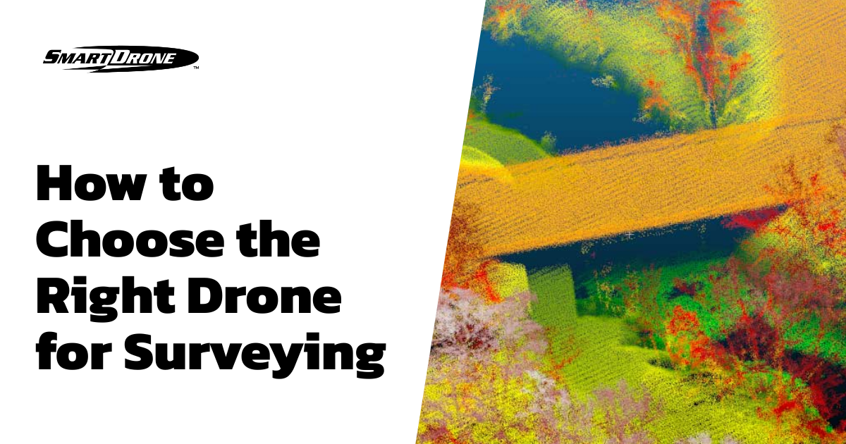
Lidar Sensors: Lidar (Light Detection and Ranging) technology employs laser pulses to measure distances, generating highly accurate 3D models of the surveyed area. Lidar is particularly effective for surveying areas with dense vegetation or intricate structures, where photogrammetry may be insufficient.
Multispectral Sensors: Multispectral sensors capture image data within specific wavelength ranges across the electromagnetic spectrum. These sensors are often used in agriculture for crop health assessment, environmental monitoring, and land use studies. They can provide information on plant health by capturing data beyond what the human eye can see.
Infrared Sensors: Infrared sensors detect heat and can be used for various applications such as inspecting solar panels, search and rescue operations, firefighting, and wildlife surveys.
Your choice between these payloads should be dictated by your specific surveying needs, considering the type of data required, terrain complexity, and the level of detail needed.
4. Accuracy
Accuracy is paramount in surveying, and your drone must be capable of delivering the required precision. Several factors affect the accuracy of drone surveys, including the drone's GPS, the onboard sensors' quality, the altitude at which the drone flies, and the processing software used. Drones equipped with Real-Time Kinematic (RTK) or Post Processing Kinematic (PPK) systems enhance GPS accuracy to centimeter-level precision, which is highly valuable when high levels of detail and accuracy are required.
5. Budget
While it's essential to select a drone that fits your surveying needs, you also need to consider your budget. Prices can range from a few hundred to several thousand dollars, depending on the drone's capabilities, sensor quality, flight time, and included software package. Keep in mind that the cost of ownership isn't limited to the initial purchase price. Also, consider ongoing costs such as maintenance, software subscriptions, insurance, and potential repair costs.
Conclusion
Choosing the right drone for surveying requires careful consideration of your specific surveying needs, the drone's capabilities, and your budget. Drones equipped with different payloads like RGB cameras, Lidar sensors, multispectral sensors, and infrared sensors, each provide unique advantages that can cater to various surveying scenarios. In an era where accuracy and efficiency are critical, the correct drone can make all the difference in successful and precise data collection. As the drone industry continues to evolve and new technologies emerge, the benefits and possibilities for drone surveying will undoubtedly expand.
Remember, the ultimate choice of a drone should be an investment that aligns with your requirements, enhances your productivity, and delivers a return on investment in your surveying projects. Happy drone hunting!


