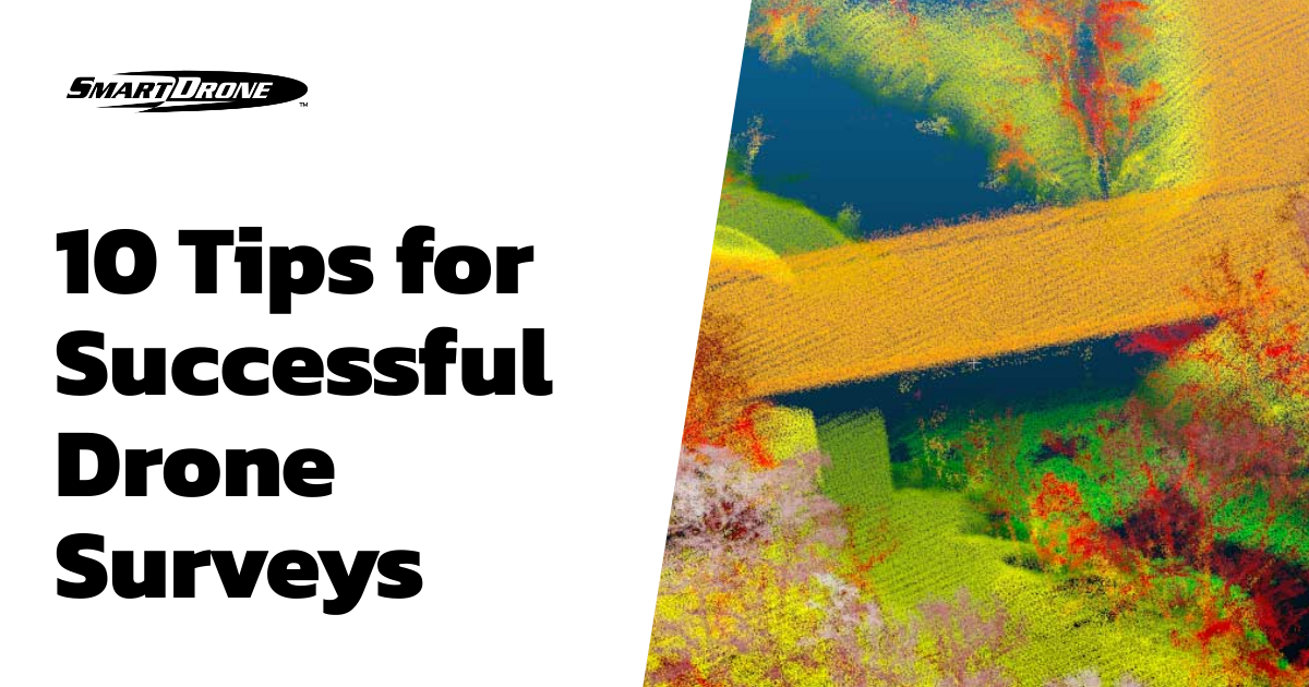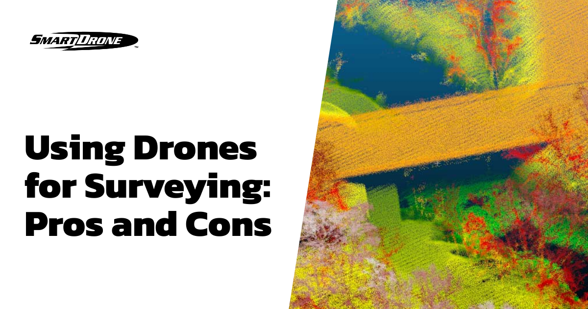
Introduction
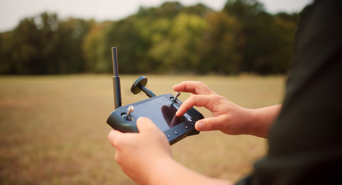
Drones, also known as unmanned aerial vehicles, have become increasingly popular in recent years for various purposes. One area where drones have been particularly successful is in surveying and mapping. Using drones for surveying has several pros and cons, which we will examine in this article.
Pros
Efficiency
One of the main advantages of using drones for surveying is their efficiency. Drones can cover large areas quickly and easily, saving surveyors time and money compared to traditional surveying methods.
Accuracy
Drones are also able to provide highly accurate survey data. By using advanced sensors and imaging technology, drones can create detailed 3D models and maps of the survey area with high precision.
Safety
In some cases, drones can also be safer than traditional surveying methods. For example, drones can survey dangerous or hard-to-reach areas, such as high buildings or cliffs, without putting surveyors at risk.
Cost-effective
Another advantage of using drones for surveying is cost-effectiveness. Traditional surveying methods can be costly due to the need for specialized equipment and personnel. On the other hand, drones are relatively inexpensive to operate and require only one or two operators.
Cons
Regulation
One of the main challenges of using drones for surveying is regulation. Strict regulations govern drone operations; surveyors must obtain the necessary permits and licenses before drone operation. Failure to do so can result in legal and financial penalties.
Weather Dependency
Another challenge to consider is the weather dependency of drones. Their battery life and operating conditions limit drones and cannot be used in adverse weather conditions such as heavy rain or strong winds.
Equipment Maintenance
Drones also require regular maintenance to ensure their proper function. This can include checking batteries, motors, and other components, adding to the operational costs of using drones for surveying.
Technical Expertise
Using drones for surveying also requires technical expertise. Surveyors must have specialized knowledge in the operation of drones, as well as the skills to interpret and analyze the data produced by drone surveys.
FAQs
Are drones better than traditional surveying methods?
Drones offer several advantages over traditional surveying methods, including efficiency, accuracy, safety, and cost-effectiveness. However, they also have their unique challenges, such as regulation, weather dependency, equipment maintenance, and the need for technical expertise.
Can drones be used for all types of surveys?
Drones can be used for a wide range of surveying purposes, but regulations and the specific requirements of the survey may limit their use. In some cases, traditional surveying methods may still be preferable to drones.
What are the costs associated with using drones for surveying?
The costs associated with using drones for surveying depend on several factors, such as the size and complexity of the survey area, the type of drone used, and the operator's experience and expertise. However, using drones for surveying can generally be more cost-effective than traditional surveying methods.
Conclusion
In conclusion, using drones for surveying has many advantages and disadvantages. While drones offer increased efficiency, accuracy, safety, and cost-effectiveness, they also have their unique challenges, such as regulation, weather dependency, equipment maintenance, and the need for technical expertise. As with any new technology, it is essential to carefully consider the pros and cons before deciding whether to use drones for surveying.