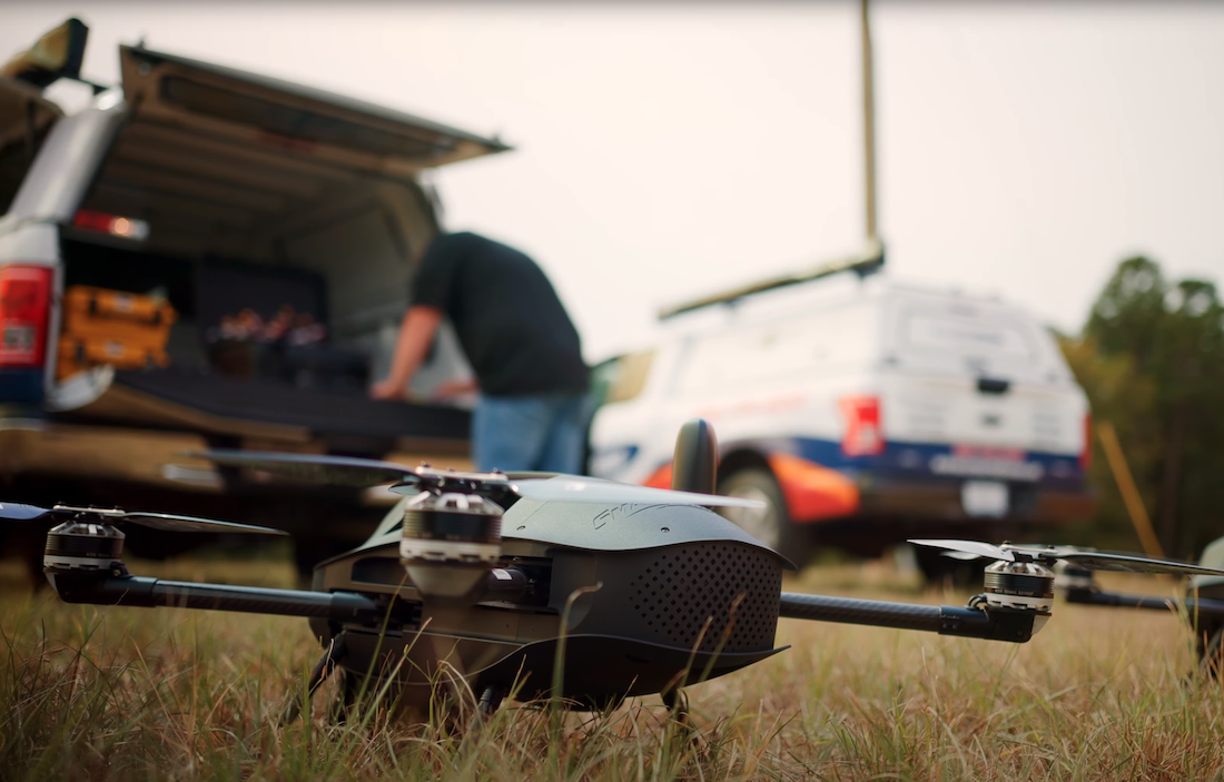
In recent years, the use of drones for surveys has become increasingly popular. Traditionally, surveys have been conducted using manual methods. However, with technological advancements, drone surveys have become a more efficient and effective alternative. This article will explore the benefits of using drone surveys over traditional surveys.
1. Survey-grade accuracy
One of the most discussed topics when comparing drone surveys to traditional surveys is the loss of accuracy. When drone surveys were first conducted a few years ago, this might have had some truth to it, but with recent advancements in drone technology, the methods used and data received from drone surveys are very accurate and comparable to traditional surveys. With drones now producing results with survey-grade accuracy, there is no reason a modern surveyor isn’t adding one into their workflows.
2. Time efficiency
Drones can cover large survey areas in a fraction of the time it takes for traditional surveys. For example, a client needs a topo for a 200-acre property that is heavily vegetated. Traditionally this would take a survey crew up to four weeks to complete, but one crewmember utilizing a drone with LiDAR could complete the job within a week. It not only saves time but increases the productivity of your crew as well.
3. Cost-effective
Drone surveys are more cost-effective than traditional surveys. Traditional survey methods can be expensive due to the need for specialized tools and equipment and the labor costs associated with the survey team. Drones, on the other hand, require fewer personnel per job and allow for more jobs to be completed in a shorter amount of time.
4. Improved Safety
Drone surveys can occur in hazardous or hard-to-reach areas with minimal safety risks to surveyors. For instance, a drone survey can be carried out on a construction site with maximum safety standards without compromising the safety of the survey team. In the case of traditional surveys, surveyors may encounter hazards or rough terrain when manually surveying the area.
5. Aerial perspective
Drone surveys provide an aerial perspective that is impossible with traditional survey techniques. This means detailed surveys can be undertaken without obstructions or limitations, such as rough terrain or inaccessible areas. In addition, the high-resolution images and videos captured from the drones' cameras can provide valuable data that can be used to make better-informed decisions.
Frequently Asked Questions (FAQs)
1. Is drone surveying more expensive than traditional surveying?
Drone surveying is typically more cost-effective than traditional surveying, even though it involves using high-tech equipment. The upfront costs of drone surveying could be more than that of traditional surveying, but the financial benefits of drone surveying are represented by the increase in individual productivity.
2. How long does a drone survey take?
The actual duration of a drone survey depends on the size of the area, the equipment used, and the level of detail needed. However, drone surveys can generally be completed faster than traditional surveys.
3. Can drones capture accurate measurements?
Yes, drones are equipped with advanced technology such as GPS and high-resolution cameras, allowing them to capture accurate measurements.
Conclusion
Drone surveys provide numerous benefits, including survey-grade accuracy, cost-effectiveness, time efficiency, improved safety, and an aerial perspective. As technology evolves, more industries are likely to embrace drones as an alternative to traditional survey methods.