The land surveying industry is at the intersection of tradition and innovation. While surveyors play a crucial role in infrastructure, construction, and land development, they face mounting challenges: staff shortages, increasing project complexity, and the need for advanced technology integration. At SmartDrone, we’ve built our platform to address these industry pain points head-on, empowering surveyors with scalable, efficient solutions.
Understanding the Land Surveyor Demographic
Who Are Land Surveyors?
Land surveyors are essential professionals who determine property boundaries, create topographical maps, and provide data critical for industries such as real estate development, civil engineering, and government infrastructure projects. In the U.S., there are approximately 50,000 licensed surveyors, most operating small, independent businesses. These firms often have fewer than 10 employees and rely on their principal surveyor to handle both technical and business responsibilities.
The Average Surveyor’s Business
Surveying businesses are typically family-owned and passed down through generations. With tight margins and aging equipment, these firms often find it challenging to invest in growth or adopt emerging technologies. As the demand for accuracy and efficiency grows, so does the need for smarter solutions.
The Pain Points Surveyors Face
1. Workforce Shortages
The average age of licensed surveyors in the U.S. is over 55, and new entrants into the field remain limited. This creates significant backlogs, forcing firms to decline new projects due to insufficient staffing.
2. Increased Project Complexity
Modern surveying projects are larger and more complex than ever before, requiring high-precision tools and quick turnaround times. Traditional methods often fall short of meeting these demands efficiently.
3. Adoption of New Technology
While many surveyors understand the value of drone technology, concerns around upfront costs, training time, and workflow integration create barriers to adoption.
4. Cost Pressures
Clients expect faster, more affordable services without compromising on quality. Smaller firms often find themselves at a disadvantage when competing against larger companies with bigger budgets for tech investments.
How SmartDrone Addresses These Challenges
At SmartDrone, we’ve developed an integrated drone platform specifically designed to tackle these challenges, giving surveyors the tools they need to thrive in a demanding industry.
1. Scaling Workload Without Scaling Staff
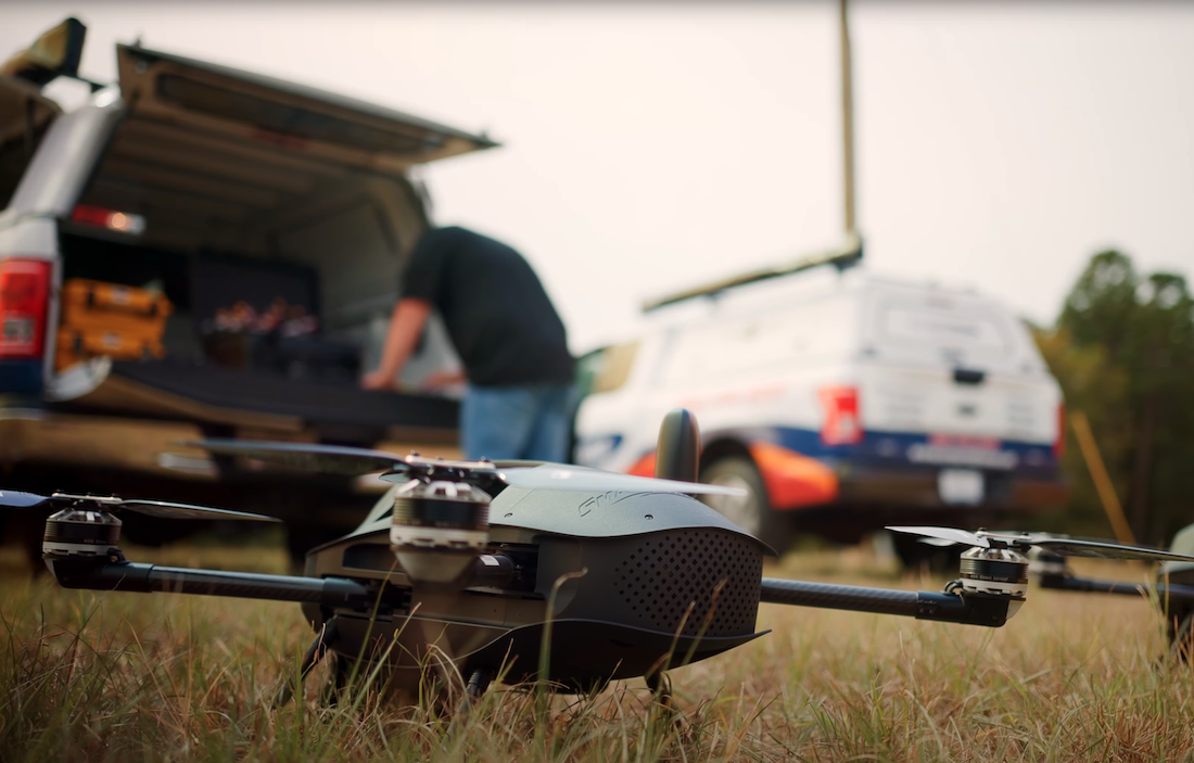
SmartDrone’s Discovery Drone Platform streamlines aerial mapping, enabling surveyors to complete projects faster without the need to expand their teams. With precise LiDAR and orthomosaic data, surveyors can deliver high-quality results with fewer field hours.
2. Simplifying Technology Adoption
Our Discovery Platform integrates seamlessly into existing workflows, minimizing the need for extensive training. SmartDrone’s Your Drone Department™ service also provides subcontracted drone operations, allowing surveyors to scale their capabilities without significant upfront costs.
3. Meeting Client Demands for Speed & Cost-Efficiency
SmartDrone’s advanced data processing and automation enable surveyors to deliver accurate, actionable insights faster and more cost-effectively. This gives firms a competitive edge, allowing them to take on more projects and increase profitability.
The Opportunity for Investors
Surveying remains a cornerstone industry, essential to construction, real estate, and civil engineering. Yet, it’s at a crossroads—where workforce challenges, rising costs, and technological pressures demand innovative solutions. At SmartDrone, we see these challenges as opportunities. By empowering surveyors with precision tools, integrated workflows, and scalable services, we’re not just solving problems—we’re building the foundation for the next generation of surveying excellence. Investors have a chance to be part of this transformation.
By supporting SmartDrone, you’re backing:
✅ Cutting-edge drone technology
✅ Scalable and efficient mapping solutions
✅ The future of U.S.-based geospatial innovation
Join the American Drone Revolution
At SmartDrone, we believe in creating technology that doesn’t just meet today’s demands but sets the stage for tomorrow’s possibilities. Surveyors deserve tools that empower them, simplify their workflows, and maximize their productivity.
Invest in SmartDrone today and be part of the future of American innovation. Together, we’re building smarter skies.
.png)


