Drones have revolutionized the way we approach surveying and mapping. The use of drones has made surveying more efficient, accurate, and affordable. However, conducting drone surveys requires some level of expertise and skills. In this article, we share 10 tips to help you conduct a successful drone survey.
1. Plan Your Mission
The first step to any successful drone survey is planning. Before you fly your drone, you need to clearly understand the area you will be surveying, the purpose of the survey, and the deliverables you need to produce.
2. Conduct a Site Survey
Conducting a site survey will give you a better understanding of the area you will be surveying. This will help you determine the best way to approach the survey and identify any potential hazards, such as powerlines and cell towers.
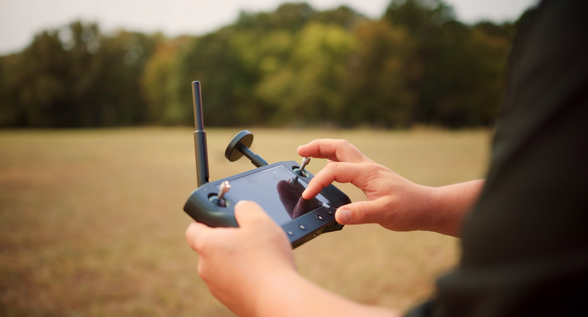
3. Use the Right Drone
Using the right drone for your survey is vital. Do you need a quadcopter, VTOL, fixed-wing, or FPV? Each type of drone serves a different purpose and is useful for different reasons. By understanding the differences between these types, you can choose the one that best suits your needs.
4. Check the Weather Condition
Weather conditions can have a significant impact on your drone survey. It is important to check the weather forecast before you fly your drone. You should avoid flying in high winds, rain, or low visibility.
5. Check the Regulations
Before conducting your drone survey, you must check the local regulations. Different countries and regions have varying rules and regulations governing drone use. Ensure that you comply with all the necessary regulations.
6. Determine Changes in Operating Altitude
In a perfect world, your surveying drone would stay at the same altitude the entire flight. In reality, your drone will probably have to adjust altitude during its mission to collect consistent and accurate data across the desired area.
7. Use the Correct Payload
Most drone surveying jobs are done to collect two types of data. One is LiDAR data that is captured using high-powered LiDAR sensors; the other is photogrammetric data that is captured using an RGB camera sensor. Understanding the differences between these data capture methods and the deliverables your client needs will help you choose what payload is best for your job.
Capture LiDAR & RGB at the same time with Discovery 2
8. Monitor the Battery Life
Monitoring the battery life of your drone is crucial. Ensure that you have enough battery life to complete your survey without interruptions. Pro tip: buy more batteries than you think you will need. You can never have too many.
9. Process Your Data
Processing your data is an essential step in producing accurate survey results. Ensure that you use the right software to process your data. This will help you produce accurate maps, models, and other deliverables.
10. Safety First
Finally, safety should always be your top priority when conducting drone surveys. Ensure that you follow all safety guidelines and take all necessary precautions to avoid accidents or injuries.
Conclusion
Drone surveys have transformed the surveying and mapping industry. To conduct a successful drone survey, you need to plan your mission, conduct a site survey, use the right drone, check the weather conditions, comply with regulations, determine the changes in operating altitude, use the correct payload, monitor the battery life, process your data, and prioritize safety. By following these tips you can conduct a successful drone survey and produce accurate deliverables.
Have a project that needs a drone survey? Check out our nationwide drone mapping services!