The United States has over 780K registered drones by hobbyists and professionals. The market for commercial drones, particularly drones that use LIDAR technology, is growing rapidly.
But what exactly can you do with a LIDAR drone? Here's everything you need to know about LIDAR drone surveys and how they change the game for nationwide drone survey companies.
Types of Drones
Drone manufacturers race one another to produce new, better drones each year. While flying drones is a hobby for some, the real-world applications of drone imaging are impossible to ignore. There are many drone options, and each has its practical applications.
For example, camera drones are great for photography and videography. But racing drones are perfect for hobbyists. Finally, LIDAR drones are ideal for mapping and surveying purposes.
What Is LIDAR and What Does It Do?
LIDAR stands for "Light Detection and Ranging." It is a remote sensing technology that uses laser light to map an area.
LIDAR is often used for surveying land, measuring distances, and creating 3D models. drones equipped with LIDAR can scan an area with speed and accuracy, making them a valuable tool for businesses and individuals.
How LIDAR Works on Smartdrone Discovery 2
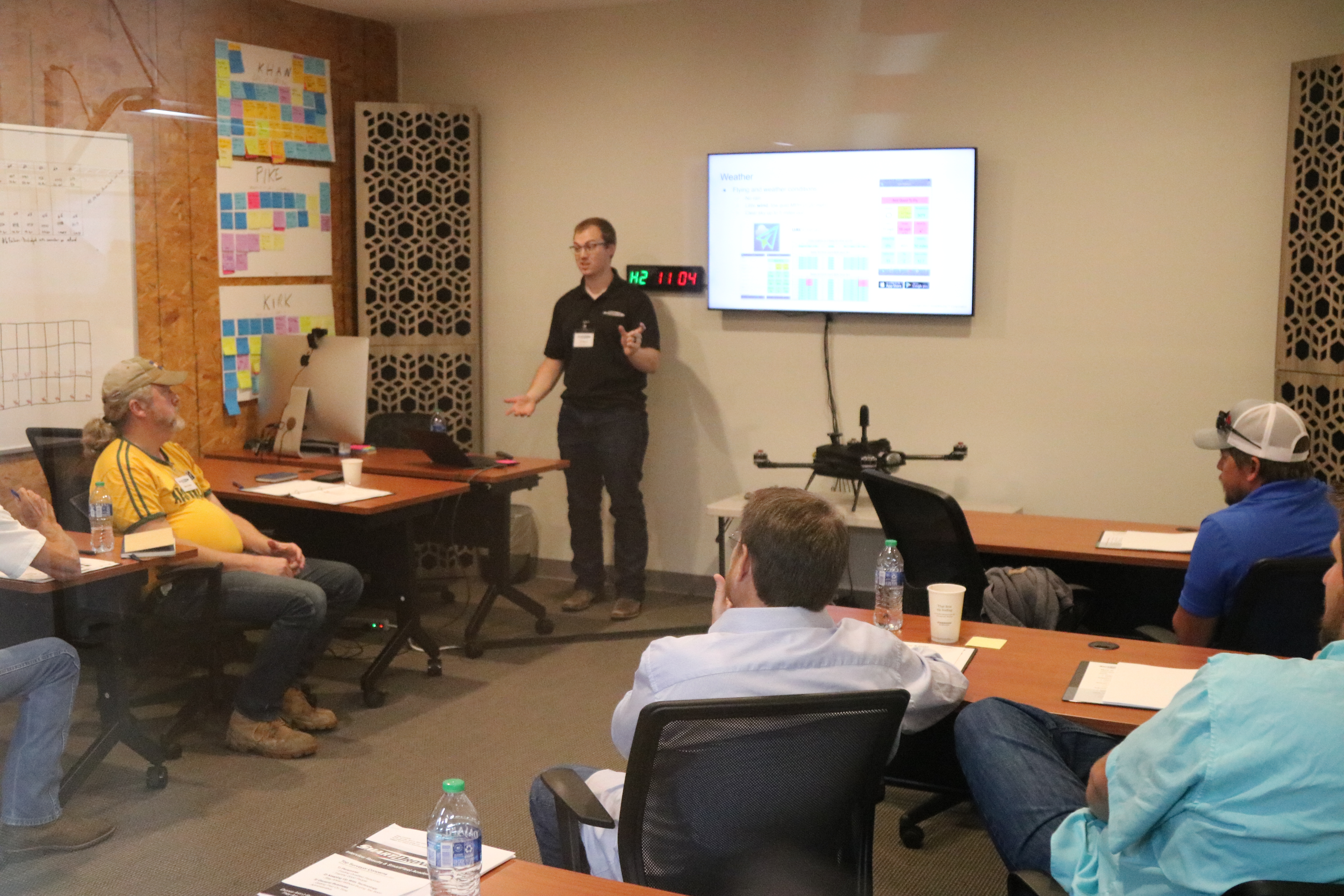
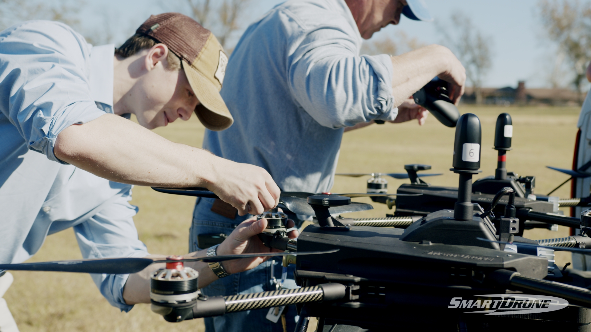
Discovery 2 is revolutionizing the surveying and mapping industry using LIDAR technology. Frequently used by surveying companies, drones equipped with LIDAR are dispatched to scan areas.
When it's time to conduct the LIDAR scan, the drone sends out a laser beam and measures the time it takes for the beam to bounce back. This information is then used to create a 3D model of the area. It works a lot like RADAR but uses light instead.
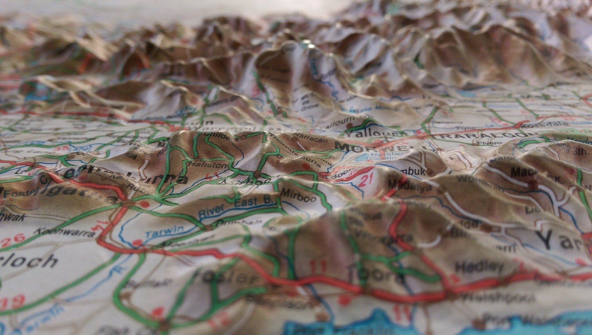
LIDAR Drone Scanning vs. Traditional Topographic Surveys
Many topographic survey companies provide drone services, but not all use LIDAR technology. So, what makes drone survey services that use LIDAR stand out against traditional forms of topographic surveys?
Traditional terrestrial methods of measuring land elevation are labor intensive and time-consuming and generate relatively few data points., Discovery 2 scanning produces detailed 3D images with accurate elevation measurements in minutes.
With new types of drones becoming available and more affordable prices for the industry's standard, you can now take advantage of this modern technology for a variety of applications. Current LIDAR mapping and scanning applications range from construction site monitoring to agricultural surveying.
Can I Benefit From Drone Survey Services?
If you need to survey land for any reason, you may wonder if LIDAR drone scanning is proper for you. You may benefit from a drone survey if:
- If you have a topographic or one-foot contour job you need to bid
- You're planning a subdivision and need cost-effective data collection
- You don't want any surprises when starting construction at a new site
- It would help if you had a large area surveyed in a short amount of time
Drone survey services provide quick and effective topographical mapping at competitive prices. They can save you time and money while providing accurate data.
Aerial Topographic Mapping in Texas and Arizona
LIDAR drone scanning and mapping are changing the game regarding topographical mapping. SmartDrone technology for your next topography job could save your company money and time.
If you want to learn more about commercial drone services in Texas and Arizona, look no further than SmartDrone. Our state-of-the-art LIDAR drone Discovery 2 provides quick topographic mapping so you can increase productivity and profits. Contact us today to learn more!