When surveying company owner Casey Jordan was faced with job misquoting, heavy vegetation, and a fast-approaching client deadline, he called us up to see how we could help.
Professional Services: An Augmentation, Not A Replacement
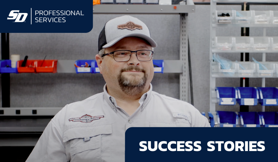
We sat down with Casey Jordan, owner of Walker, Warren, & Jordan Land Surveying, to discuss how using SmartDrone Professional Services got him out of a bind.
Watch the video of our interview or read the transcript below:
Transcript:
Rob: Hi, I'm Rob with SmartDrone. We're here today talking with Casey Jordan he has used our services to do some lidar drone scanning, and we want to get his perspective as a surveyor on what it's like to work with SmartDrone. Casey, thank you so much for coming to have a few minutes with us today. I really appreciate it. I also thank you for your business. We've done a few jobs with you already, but before we get into it, could you tell us a little bit about yourself?
Casey: I'm Casey Jordan, owner of Walker, Warren, and Jordan Land Surveying here in Tyler, Texas, and we have been in business since 1981. I purchased the company from Mr. Walker in uh 2020, and I mean business is great, and look forward to keep going strong.
Rob: Good, that's great. What type of work do you do?
Casey: We do boundary surveying, construction surveying, subdivisions, pretty much all of northeast Texas is our working area and uh just, you know, just trying to meet all of our customers needs.
Rob: Okay. What methods and equipment do you currently use for surveying?
Casey: We use Trimble GPS R12i's. All of our crews have R12i's and our conventional equipment we use Nikon conventional equipment.
Rob: Great, R12i's, you're on the leading edge, then.
Casey: Yep, we've just recently upgraded. We had some crews that weren't running them that got to run them when someone was off work for a week, and so we had to upgrade everybody.
Rob: Yeah, they all wanted it.
Casey: Yeah.
Rob: What is your experience with using drones for surveying work?
Casey: We had not used drones at all in-house and kind of got in a pickle on a project and kind of went and was looking at some aerial photographs and google earth of a project, and kind of got the bid wrong of when we could get it turned around after going to the site and just seeing that the tree coverage was a lot crazier than the aerial photograph looked like. It was kind of a last-ditch effort to call SmartDrone and see if y'all could get us out of trouble, and you definitely did, and we saw the value in the product and just decided that it's kind of the way we're going to go on on these certain projects from now on.
Rob: Great, well again, thank you for the work. We appreciate it. Have you ever used lidar?
Casey: We have not. I mean, other than your services.
Rob: What were the factors causing you to use drone LiDAR?
Casey: Just because the tree cover was just so intense on the project that it would just take a conventional crew, you know, days to even just get the property ready to do the work conventionally. You know, GPS wasn't an option, just because of the way that the property was, you know, covered, and just we couldn't deliver a product that was going to be useful for the client.
Rob: Casey, why do you continue to use SmartDrone?
Casey: Just the customer service is second to none, the speed of getting the product back to us, and just the reliability of the product. After sending field crews back out to get some additional data up on some stuff that had been requested, we meshed in the topo, our topo, with the data that y'all provided, and it just was seamless.
Rob: Great, we hear that from our customers, and we're glad you have the same experience. Could you describe the process involved from your point of view as a surveyor in getting a quote and then getting the project turned around?
Casey: You know, once y'all send us the quote, we can relay that to our client, and then you know, usually the longest period of time that it takes anything is that client to get back to us and say yes, this is what we want to move forward with. There are some questions about, you know, everybody's kind of skeptical of the LiDAR and just don't understand it, and once we kind of explain in layman's terms the way that this works, they're still a little skeptical, but once they see the product they, it's just beyond their expectations.
Rob: Great, yeah, there's a learning experience involved when getting used to using LiDAR drone products for your deliverables. But, we hear a lot just one time walking through it, you explain it, you mesh it up to your data, and then it's easier for you to bring it to your customer and explain it to them.
Casey: Exactly.
Rob: Great. Why did the job you were working on need LiDAR?
Casey: After talking with a client when we originally were going to do the conventional topo, the client was not ready to remove the trees at that time. There were still some unknowns on his end about design and the way that he needed to lay it out, so we just decided to go with the SmartDrone because that's really the only feasible way to get the topo information that he needed to work on his design and just that was because of the tree canopy.
Rob: Yeah, that's a real benefit of LiDAR is being able to get through the gaps in the tree canopy and get enough points back to generate an accurate topo map. So that's a real value for surveyors when they're looking for topographic work. Casey, how thorough is the data package that's delivered to you on your projects from SmartDrone?
Casey: The data packages, I think there were four options or five options of the resolution of the points, and you know, I think there was a 1 to 10 and 1 to 25 and 1 to 50 and 1 to 100, I believe. And the application that we have used was the 1 to 50 on the first project and that was probably beyond what we needed for this project. So the data is very, I wouldn't call it an overkill is a good word, but it's a lot more than you would conventionally have if you sent a crew out.
Rob: Great, so Casey, one of the issues that we found with surveyors when they were starting to process or try to process and incorporate LiDAR data, is the volume of points is in the millions the tens of millions. It's a lot of data that most surveyors can't handle with their current computer systems and software. So with our processor, we're able to custom select different grid sizes and so when we deliver to the to the customer, they can pick and choose which one works for their needs best with their current processing configuration with their cad software. So we generated enough options and enough files for you so that you were able to use what fit your system best?
Casey: Absolutely. We worked with a couple of the different resolutions that y'all sent over and, you know, we went with the one that we thought was sufficient for the project we were working on, and it worked flawlessly.
Rob: Great, thank you. So Casey, two years ago, we started SmartDrone and the goal was to be zeroed in, focused, on land surveyors and their needs and we learned a whole lot along the way. And, of course, the number one thing that surveyors are looking for is accuracy and along the way, we developed an accuracy validation tool that generates a report to compare our data to your check shots. How did you find that?
Casey: When we sent a crew back out to check the points that Michael had set for us in the field, there was no deviation in what we had found horizontally and or vertically. Everything just matched up perfectly.
Rob: So we were well within the tolerances needed for the standard?
Casey: Absolutely.
Rob: Great, well, I appreciate that. Our crew appreciates that, they've been working hard to specifically focus for land surveyors and getting those accuracies that you need.
Casey: Yes.
Rob: Michael was our field application specialist on all three of your jobs. Any comments about Michael and how that went?
Casey: Michael was great to work with. He got right back to us when we needed some information about cost and things like that and let us know his schedule, and stayed on schedule. And we did have a slight issue on the very first job, that we did, about getting it uploaded in our system, and we called Michael, and you know he happened to be in our area, and he said, hey, I'll be by your office in 10 minutes. And I think within 30 minutes of him being there, we had the topo loaded up and was able to start working with it. So that customer service is few and far between these days but all three projects have been the exact same. So it's just great customer service all around.
Rob: Thank you, we think Michael's awesome, and we are actually expanding and our geographic coverage. We know it's important to be close to our customers and so soon, we'll have coverage across Texas where you're not very far from a Field Application Specialist for SmartDrone. Hey Casey, thank you again. Thank you for your business and thank you for giving your perspective as a surveyor and what it's like to work with SmartDrone.
Casey: All right, thank you very much. You've all been great to work with.
Rob: For any needs, you have with LiDAR surveying, call SmartDrone. Look us up on the web at smartdrone.us. We've got a Field Application Specialist ready to come do work for you, or we have a reseller across the united states who can sell for you and then support and serve you just like with our services. Thank you.
Discover All The Benefits of Drone Mapping Services
Many surveyors today are faced with the same struggles as Casey. If you find yourself in a similar situation, give us a call or fill out our form to get a free quote.
If you want to learn more about all the possibilities drones provide, get in touch today to organize a demo or speak with one of our team members.