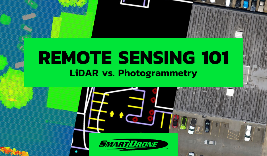
If you are considering conducting a drone survey, you must be familiar with the essential equipment required to complete the task successfully. In this guide, we will take a closer look at the equipment you need to get started with a drone survey.
Drone
At the heart of any drone survey is the drone itself. Your choice will depend on the specific requirements of your project. It's important to consider factors like the drone's flight time, the quality of its onboard camera, and its ability to withstand various weather conditions. A drone with a high-resolution camera or sensor, such a LiDAR or multi-spectral, is crucial for capturing detailed, precise imagery and data. Some popular choices for drone surveys include the DJI Matrice 300 RTK, the SmartDrone Discovery 2, or the WingtraOne VTOL fixed-wing drone.
Processing Computer
After you've captured your data, you'll need to process it. For this, you'll require a powerful computer capable of running drone mapping software, like Pix4D or DroneDeploy. You'll need a system with a fast processor, plenty of RAM, and a high-end graphics card to handle the intensive computational demands of creating 3D models and orthomosaic maps.
Base Station & Rover
To ensure the accuracy of your survey, you'll need a base station and rover for real-time kinematic (RTK) or post-processed kinematic (PPK) corrections. These devices work together to correct the GPS data collected by your drone, improving the precision of your survey. The base station remains at a fixed, known location, while the rover moves with the drone.
Batteries & Portable Power
Drones consume quite a lot of power, so extra batteries are a must-have. How many you'll need will depend on the length of your survey and the flight time of your drone. Portable power packs can also be a lifesaver in the field, allowing you to recharge your drone batteries, your controller, and any other electronics you have on hand.
Ground Control Points
Ground Control Points (GCPs) are another crucial tool for ensuring survey accuracy. These are physical markers placed in the survey area, which are clearly visible in the drone imagery. The coordinates of these points are measured using precise GPS devices, providing reference points to align and calibrate the drone's data.
Personal Protection Equipment
Safety is paramount when conducting drone surveys. PPE like safety glasses, high visibility vests, gloves, and sturdy footwear can protect you from potential hazards. Depending on local regulations and the specifics of your survey, you might also need additional items like hard hats or ear protection.
Conclusion
In conclusion, conducting a drone survey requires the right equipment to be successful. By investing in the right equipment, you can capture high-quality images and data, providing accurate and efficient survey results. Keep in mind that some regions may require special permits to conduct drone surveys, so be sure to research and understand local regulations before starting your survey project.