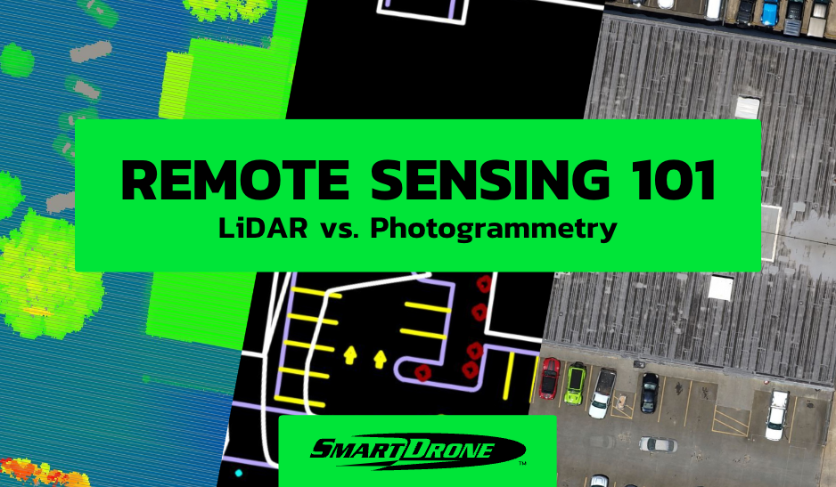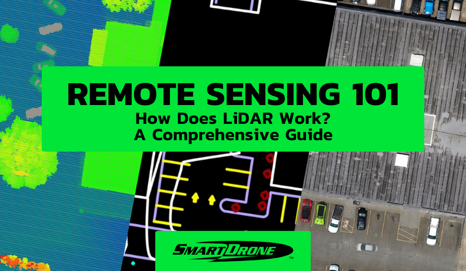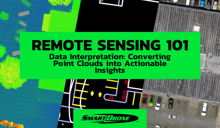
In the rapidly advancing world of geographic and environmental data collection, converting raw data into actionable insights is becoming increasingly crucial for various industries. Among the most powerful tools at our disposal are point clouds—datasets composed of points in space generated by 3D scanners, such as LiDAR (Light Detection and Ranging). These datasets are pivotal in creating detailed three-dimensional models for various applications, ranging from real estate development to urban planning and conservation efforts. This blog delves into how professionals can harness the power of point clouds to extract valuable, actionable insights.
Understanding Point Clouds
A point cloud is a collection of data points in a coordinate system. In the construction, surveying, and engineering industries, these points are generated by LiDAR technology mounted on drones or other vehicles. LiDAR sensors emit light pulses that bounce off surfaces and return to the sensor. The time it takes for each pulse to return is used to calculate distances, which are then compiled into a dense, three-dimensional representation of the scanned area.
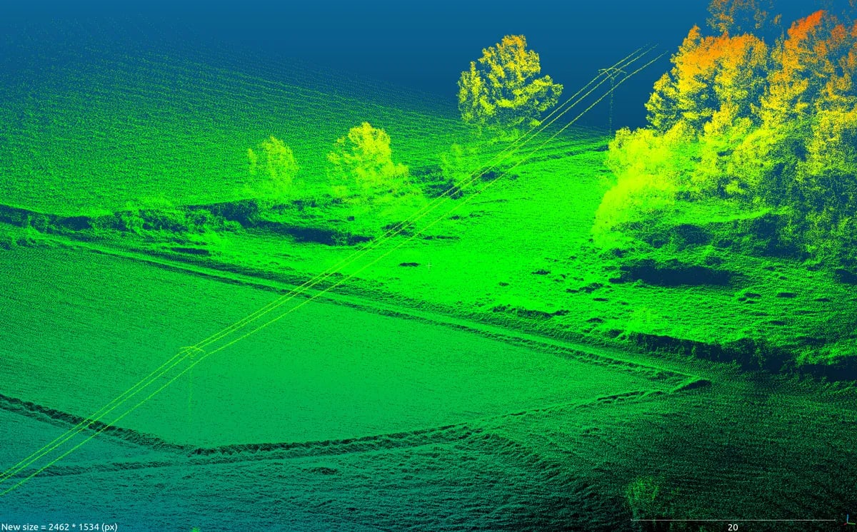
Source: AltiGator
The raw output of LiDAR, however, is not immediately useful. The real value comes from processing and interpreting this data to form coherent models and visuals, such as digital elevation models (DEMs), orthomosaics, and more detailed 3D reconstructions
.
From Raw Data to Refined Models
The journey from raw point clouds to refined, usable data models involves several critical steps:
-
Data Cleaning: Initial processing involves removing noise and correcting errors in the data. This may include eliminating points that represent moving objects or atmospheric phenomena or correcting distortions caused by the movement of the scanning platform.
-
Data Registration: Aligning and merging different data sets from multiple scans to create a unified dataset that accurately represents the scanned environment.
-
Point Classification: This involves categorizing points in the dataset into classes such as buildings, vegetation, ground, and water, which aids in further analyses and decision-making.
-
Feature Extraction: This is where specific features of interest are identified and extracted from the classified data, such as the lines of roads, the edges of roofs, or the breaklines at the base of a hill.
-
3D Modeling: Using the classified and feature-extracted data to build three-dimensional models that can be visualized and analyzed to better understand the characteristics of the physical space.
Turning Insights into Action
Once point clouds are processed into interpretable formats, the focus shifts to leveraging these insights effectively. Here are some applications:
-
Urban Planning and Development: Detailed topographic maps created from point clouds can help plan the development of new areas or retrofit existing infrastructure. Planners can identify suitable areas for construction, understand the landscape’s natural flow of water, or simulate how new buildings will affect wind patterns and sunlight in urban areas.
- Volumetric Analysis: Utilizing processed point cloud data for volumetric analysis is essential in mining, construction, and waste management industries. By calculating the volume of raw materials, debris, or excavated earth, companies can more accurately estimate costs, manage inventory, and plan logistics. This type of analysis helps quantify stockpiles, measure cut and fill for site preps, and manage resource allocation. Volumetrics derived from LiDAR data ensure precision in measurement and enhance operational efficiency by providing a clear picture of available resources and their changes over time. This information is vital for making informed decisions that impact a project's economic and environmental aspects.
-
Environmental Monitoring: LiDAR can track changes in landscapes over time, providing invaluable data for conservation efforts, such as monitoring deforestation rates or the erosion of coastlines.
-
Asset Management: In industries like utilities and telecommunications, regular LiDAR surveys can help companies monitor and manage their assets more efficiently. For example, by identifying vegetation encroachment on power lines or the structural integrity of aging infrastructure.
-
Disaster Management and Response: After a natural disaster, rapid LiDAR scanning can provide quick and accurate assessments of damaged areas, helping to prioritize response efforts and better plan recovery operations.
Challenges and Considerations
Despite its many applications, working with point clouds is not without challenges. The sheer volume of data generated by LiDAR technology requires substantial processing power and sophisticated software for data analysis. Additionally, the accuracy of insights depends significantly on the quality of the initial data capture and the subsequent data processing stages.
Professionals must also consider privacy and legal considerations when capturing detailed geographic data, especially in populated areas. Ensuring data security and compliance with local regulations is essential.
Conclusion
As the technology continues to evolve and become more accessible, the potential applications of point cloud data are virtually limitless. By transforming this data into actionable insights, professionals can make informed decisions that lead to smarter, more sustainable outcomes.
For those looking to delve deeper into the technical aspects of LiDAR and point cloud data, resources such as the American Society for Photogrammetry and Remote Sensing offer detailed guides and case studies. Meanwhile, platforms like Point Cloud Library provide tools and libraries for processing point clouds, helping to bridge the gap between data collection and practical application.
Embracing these tools and methodologies enhances the precision and efficiency of projects and contributes to a better understanding and management of our physical world.
Looking for professional drone mapping services? Reach out to us for a comprehensive range of drone services, including high-quality orthomosaics and 1-foot contours.
Curious about the cost of our services? Check out our pricing.