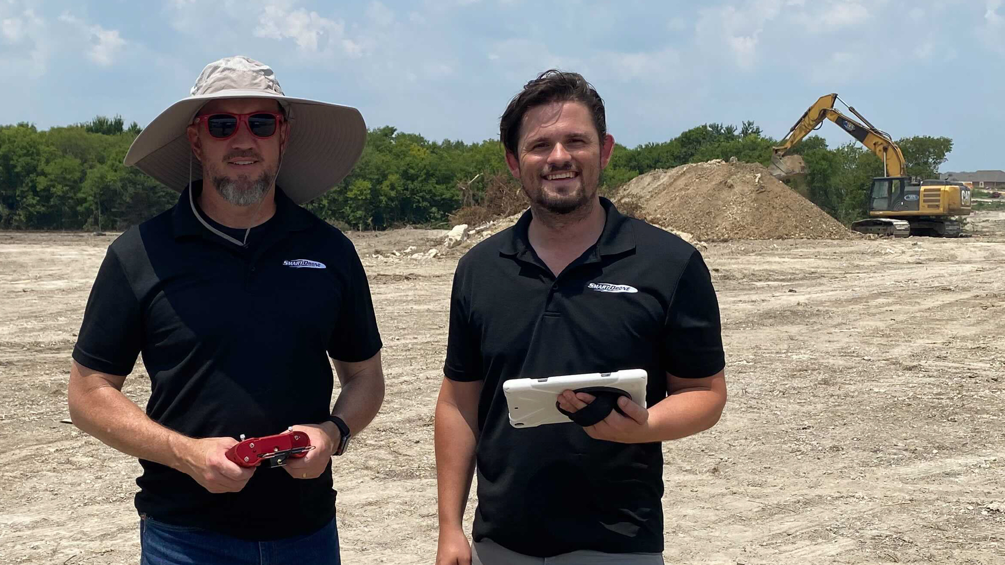
Drone surveys have become popular because they can conduct fast and accurate surveys of large areas. However, despite their advantages, drone surveys are still prone to errors that can lead to inaccurate results. This is where SmartDrone technology and methodology come in. Through the use of advanced technology and techniques, SmartDrone technology improves survey accuracy in a number of ways.
1. See through the canopy:
One of the biggest advantages of drone surveys is the aerial perspective. By observing from the sky, typical obstacles for traditional surveying methods are no longer obstacles. It does have exceptions, though. If the surveying is being done using a drone with only photogrammetric capabilities, heavily vegetated areas will still be a problem, even from an aerial perspective. To overcome this challenge, SmartDrone uses highly sensitive LiDAR sensors to penetrate any canopy and reveal the topography of the ground below it. This allows for accurate surveys no matter how vegetated the land is.
2. Post-Processed Kinematics(PPK):
In drone surveying, there are two popular methods for correcting GPS data, real-time kinematics(RTK) and post-processed kinematics(PPK). RTK surveying makes corrections in real-time but requires a continual connection between the drone and the base and rover during flight. Any problems with this connection cause corrective issues, giving inaccurate and faulty data. PPK, on the other hand, doesn’t require a continual connection as the data from the drone and the data from the base and rover are processed after the flight. While there are many other factors that affect data accuracy, PPK eliminates the chance for a faulty connection to be one of them.
3. Flight planning:
SmartDrone technology is also designed to enable autonomous flight. When SmartDrone is hired to perform a professional service, a specialist carefully observes the property looking for obstacles and changes in elevation. They then take this information and create a GPS path that is installed in the drone. At the job site, the drone will follow this predetermined path without the need for manual control. This feature reduces the risk of human error and improves the accuracy of the survey results.
4. High-precision technology:
SmartDrone uses high-precision technology that is designed to capture accurate data. This technology includes the global navigation satellite system(GNSS) receiver and inertial measurement unit(IMU). The GNSS IMU combines both tools into a single device. A GNSS receives signals from satellites orbiting the Earth and uses that information to determine drone position and velocity. An IMU measures the drone’s acceleration and angular velocity. The SmartDrone Discovery 2 is equipped with the Applanix APX-15 GNSS/IMU. The LiDAR or ortho data captured from the drone is rendered useless without the ability to georeference it using the GNSS/IMU data.
5. Data validation:
SmartDrone’s development team created an incredibly powerful data processor for point cloud generation from LiDAR data and orthomosaic generation from photos captured. They also included a data validation feature that uses advanced algorithms to ensure the quality and validate the accuracy of the data received from both the drone and the base and rover before it gets processed. This feature is great for in-field data processing, so if there is an issue with the data, the surveyor can redo the job before coming back to the office with incorrect data.
Conclusion:
In conclusion, SmartDrone technology and methodology improve the accuracy of drone surveys in a number of ways. Through the use of LiDAR sensors, post-processed kinematics, flight planning, high-precision technology, and data validation, SmartDrone provides more accurate and reliable survey results.