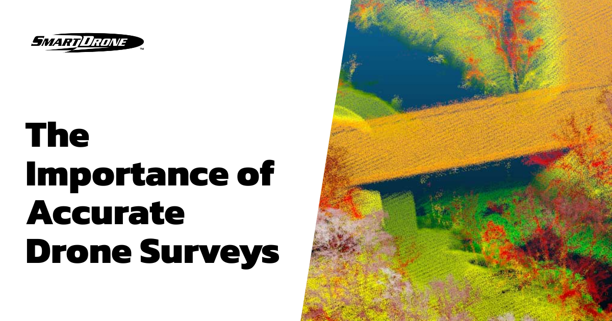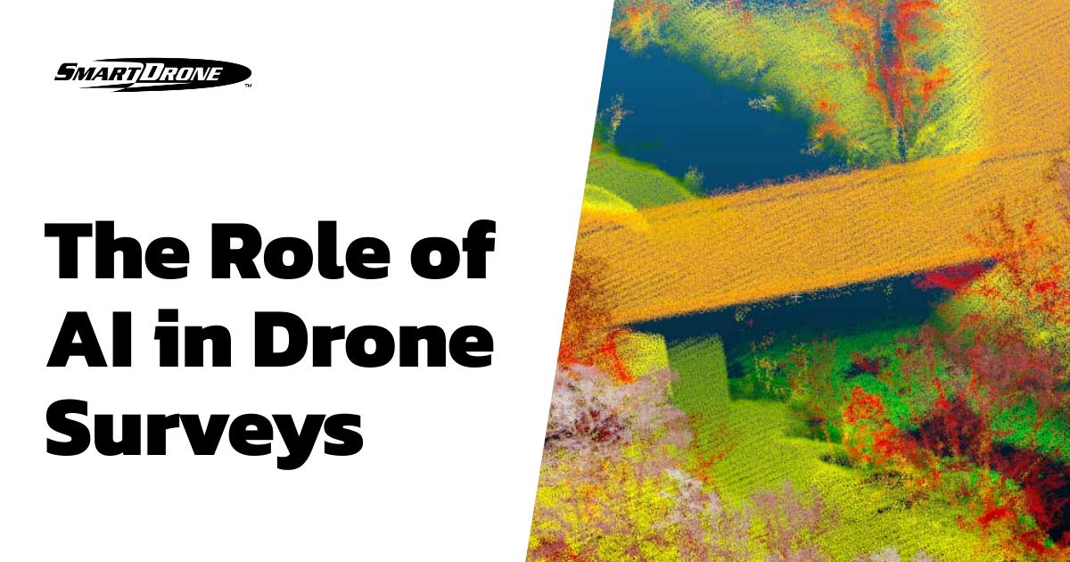
Artificial Intelligence (AI) has become a critical component in various industries over recent years, driving innovation and improving efficiency in various domains. One of the fields experiencing a wave of transformation through AI is drone surveying. By incorporating AI into drone technology and software, surveying processes have become more efficient, precise, and less time-consuming. This article delves into the role of AI in transforming drone surveying, highlighting its benefits and potential future implications.
Improved Accuracy and Precision in Data Collection
One primary advantage of artificial intelligence in drone surveying is the improved accuracy and precision in data collection. AI-enabled drones can maneuver in complex environments, capturing images and other critical data with high precision and less human intervention. This level of accuracy and precision dramatically boosts the quality and reliability of surveying data.
Enhanced Efficiency and Automation
Artificial Intelligence powers drones to automate data collection and analysis, significantly reducing the time to deliverables. By integrating AI algorithms, drones can recognize patterns, analyze data, and generate survey reports, fueling efficiency and productivity.
Cost-effective Solution
By minimizing manual work and simplifying complex tasks, AI-powered drones provide a cost-effective solution for surveying. Significant reductions in manpower and resources are key financial benefits of adopting artificial intelligence in drone surveys.
Examples of AI in Drone Surveys
- Creating Orthomosaic Maps: AI-based algorithms are used to stitch together hundreds or even thousands of high-resolution drone images into one large orthomosaic map. These maps are typically georeferenced, allowing them to be used in GIS software for in-depth analysis.
- 3D Modeling and Topographic Mapping: Drones capture multiple images of the same area from different angles and perspectives, which are then processed by AI algorithms to create 3D models or topographic maps.
- Precision Agriculture: In the agricultural industry, drones equipped with AI can be used to assess plant health, identify areas of stress, estimate yields, and map fields. Machine learning algorithms analyze images to identify disease or pest damage, poor nutrition, and other problems.
- Infrastructure Inspection: AI is used in drones to inspect infrastructure such as power lines, wind turbines, bridges, and buildings. The technology can identify faults and damage, streamlining maintenance work and improving safety.
- Environmental Monitoring: AI-powered drones are used for tracking wildlife, monitoring deforestation, and assessing the impacts of climate change. They can also aid in the detection and management of wildfires.
- LiDAR: Light Detection and Ranging (LiDAR) drones utilize AI for processing and interpreting immense amounts of laser point data to produce detailed 3D maps and models.
The Future of AI in Drone Surveys
As technology evolves, the scope for AI in drone surveys is promising. Advanced machine learning algorithms and sophisticated sensor technology might offer more robust and versatile drone functionalities. From smart obstacle detection and reaction to real-time data analysis, the future of AI-powered drone surveys can truly revolutionize the surveying sector.
Conclusion
Integrating AI in drone surveys has brought about a significant transformation in the surveying process. It has not only enhanced accuracy and efficiency but has also risen as a cost-effective solution. As AI continues to evolve and innovate, it can be anticipated that drone surveys will become even more advanced and equipped to cater to more complex tasks and assessments.