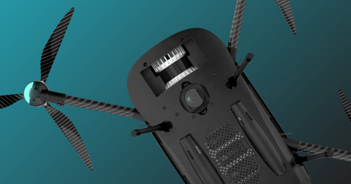
In the evolving world of drone technology, selecting the right components is crucial to delivering precision, reliability, and cost-efficiency. For SmartDrone, one of the most important decisions was selecting the ideal LiDAR sensor for our Discovery platform. Here’s a look at the rigorous evaluation process, the options we considered, and why our final choice sets us apart from the competition.
What Did We Look for When Evaluating LiDAR Sensors?
When choosing a LiDAR solution for our Discovery drones, three key criteria guided our decision-making:
-
Performance: High-accuracy data capture, even in challenging environmental conditions, was non-negotiable.
-
Cost: The sensor needed to be affordable, ensuring the platform remained accessible to surveyors, small firms, and other professionals.
-
Reliability: Durability and consistent performance in the field were essential for maintaining client trust and minimizing operational disruptions.
Through conversations with surveyors and potential customers, we identified a critical barrier: many believed LiDAR systems were either too fragile or too expensive to risk flying. This insight motivated us to find a solution that combined affordability and ruggedness while delivering the high precision our clients demand.
Exploring the LiDAR Landscape
Over the past few years, LiDAR technology has advanced rapidly, offering more choices than ever. Let’s break down the three primary types of LiDAR we evaluated, along with their pros and cons:
1. Analog LiDAR
.png?width=1024&height=601&name=image%20(9).png)
Analog LiDAR has long been the industry standard for high-accuracy mapping. However, it comes with notable drawbacks:
- Advantages: Established reliability and excellent performance in ideal conditions.
- Drawbacks: Analog systems are bulky, expensive, and require frequent recalibration. They are also more susceptible to environmental interference, making them less suited for rugged field use.
2. VCSEL (Vertical-Cavity Surface-Emitting Laser) Chip-Based LiDAR
.png?width=1024&height=601&name=image%20(10).png)
This emerging technology combines innovation with practicality:
- Advantages: Lightweight, compact, and cost-effective for mass production. It handles environmental challenges better than analog systems.
- Drawbacks: While it excels in durability and efficiency, its range and accuracy can fall short compared to analog systems in some cases.
3. MEMS (Micro-Electro-Mechanical Systems)-Based LiDAR
.png?width=1024&height=562&name=image%20(11).png)
MEMS-based systems are known for their adaptability:
- Advantages: Compact and lightweight, with impressive range and accuracy.
- Drawbacks: These systems are generally more expensive and can have limitations in extreme environments.
Why SmartDrone Chose VCSEL-Based LiDAR

After a thorough evaluation, we selected VCSEL-based LiDAR technology, specifically Ouster’s sensors, for our Discovery platform. Here’s why:
- Balance of Performance and Cost: VCSEL technology provides survey-grade accuracy at a competitive price point.
- Durability: The compact design and robust construction ensure it can handle the rigors of fieldwork without compromising performance.
- Scalability: The cost-effectiveness of VCSEL-based sensors allows us to keep the Discovery platform accessible to firms of all sizes, empowering smaller surveyors to adopt advanced drone technology.

By tailoring the integration of VCSEL LiDAR with our high-accuracy INS and proprietary Pulse Processor software, we achieved a sub-0.2” spot ground elevation tolerance. This ensures unparalleled accuracy for a wide range of mapping applications.
Why This Decision Matters to Investors
SmartDrone’s decision to adopt VCSEL-based LiDAR technology reflects our commitment to innovation and market leadership. Here’s why this is significant for our investors:
- Market Differentiation: By being among the first to integrate VCSEL LiDAR for UAV mapping, we’ve positioned ourselves as a leader in accessible, high-accuracy drone solutions.
- Scalable Growth: This choice allows us to address the needs of a growing market, particularly smaller firms and industries transitioning to advanced technology.
- Cost Efficiency: The integration of VCSEL technology lowers operational costs, making our platform more competitive and increasing its market appeal.
- Broader Applications: Beyond land surveying, our solution is well-suited for industries like construction, environmental monitoring, and real estate, creating diverse revenue streams.
By pioneering this adaptation, SmartDrone continues to expand its reach while maintaining a focus on cost-efficiency and customer-centric innovation.
Final Thoughts
SmartDrone’s approach to selecting LiDAR technology goes beyond technical specifications. It’s about understanding the needs of our clients and the challenges they face and then delivering a solution that empowers them to succeed. The integration of VCSEL-based LiDAR technology in our Discovery platform exemplifies our mission to make advanced drone technology accessible, reliable, and impactful.
For investors, this decision underscores SmartDrone’s forward-thinking approach and commitment to scalable growth in a rapidly expanding industry. By aligning innovation with market needs, we’re setting the stage for long-term success and leadership in the drone sector.
Invest in SmartDrone today and be part of the American Drone Revolution:


